Distance to Richmond Dale, Ohio

Calculating Your Route
Just a moment while we process your request...
Location Information
-
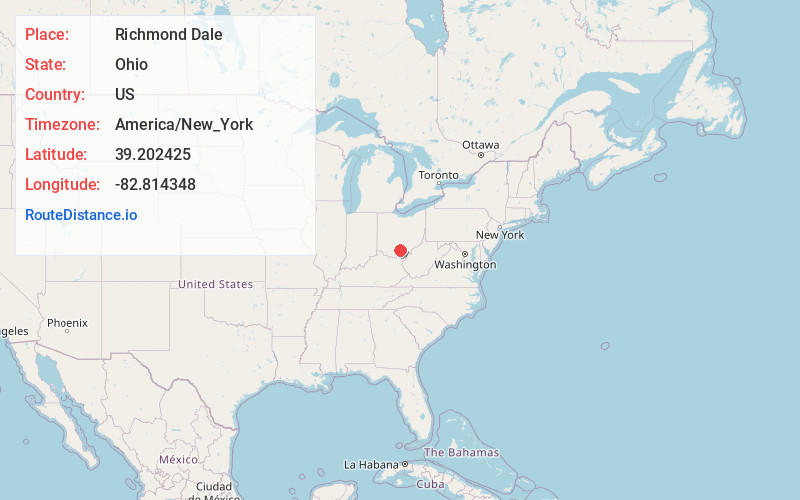
Full AddressRichmond Dale, OH
-
Coordinates39.2024245, -82.8143479
-
LocationRichmond Dale , Ohio , US
-
TimezoneAmerica/New_York
-
Current Local Time5:45:11 PM America/New_YorkSaturday, May 17, 2025
-
Page Views0
About Richmond Dale
Richmond Dale is an unincorporated community and census-designated place in central Jefferson Township, Ross County, Ohio. It has a post office with the ZIP code 45673. It is located along U.S. Route 35 southeast of the county seat of Chillicothe. The population of the CPD was 386 at the 2020 census.
Nearby Places
Found 10 places within 50 miles

Waverly
10.6 mi
17.1 km
Waverly, OH 45690
Get directions

Beaver
11.9 mi
19.2 km
Beaver, OH 45613
Get directions

Chillicothe
12.7 mi
20.4 km
Chillicothe, OH 45601
Get directions

Jackson
14.1 mi
22.7 km
Jackson, OH 45640
Get directions

Piketon
14.2 mi
22.9 km
Piketon, OH 45661
Get directions

Hamden
15.7 mi
25.3 km
Hamden, OH 45634
Get directions

Wellston
16.0 mi
25.7 km
Wellston, OH
Get directions

McArthur
18.2 mi
29.3 km
McArthur, OH 45651
Get directions


Leaflet © OpenStreetMap contributors
Location Links
Local Weather
Weather Information
Coming soon!
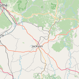
Location Map
Static map view of Richmond Dale, Ohio
Browse Places by Distance
Places within specific distances from Richmond Dale
Short Distances
Long Distances
Click any distance to see all places within that range from Richmond Dale. Distances shown in miles (1 mile ≈ 1.61 kilometers).