Distance to McArthur, Ohio

Calculating Your Route
Just a moment while we process your request...
Location Information
-
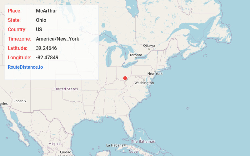
Full AddressMcArthur, OH 45651
-
Coordinates39.2464596, -82.4784898
-
LocationMcArthur , Ohio , US
-
TimezoneAmerica/New_York
-
Current Local Time6:12:55 AM America/New_YorkFriday, May 30, 2025
-
Page Views0
About McArthur
McArthur is a village in and the county seat of Vinton County, Ohio, United States. It is located 27 miles southeast of Chillicothe. The population was 1,783 at the 2020 census.


Nearby Places
Found 10 places within 50 miles

Wellston
9.0 mi
14.5 km
Wellston, OH
Get directions

Jackson
15.9 mi
25.6 km
Jackson, OH 45640
Get directions

Nelsonville
19.7 mi
31.7 km
Nelsonville, OH 45764
Get directions

The Plains
20.3 mi
32.7 km
The Plains, OH
Get directions

Logan
20.6 mi
33.2 km
Logan, OH 43138
Get directions

Athens
21.0 mi
33.8 km
Athens, OH 45701
Get directions

Chillicothe
27.6 mi
44.4 km
Chillicothe, OH 45601
Get directions

Waverly
28.4 mi
45.7 km
Waverly, OH 45690
Get directions

Middleport
28.6 mi
46.0 km
Middleport, OH
Get directions

Piketon
31.2 mi
50.2 km
Piketon, OH 45661
Get directions
Location Links
Local Weather
Weather Information
Coming soon!
Location Map
Static map view of McArthur, Ohio
Browse Places by Distance
Places within specific distances from McArthur
Short Distances
Long Distances
Click any distance to see all places within that range from McArthur. Distances shown in miles (1 mile ≈ 1.61 kilometers).