Distance to Buchanan, Kentucky

Calculating Your Route
Just a moment while we process your request...
Location Information
-
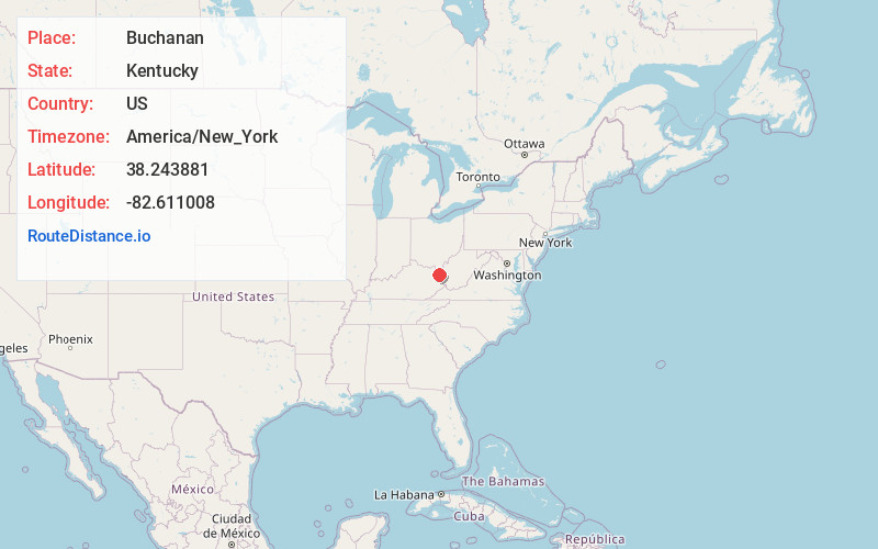
Full AddressBuchanan, KY 41129
-
Coordinates38.2438812, -82.6110076
-
LocationBuchanan , Kentucky , US
-
TimezoneAmerica/New_York
-
Current Local Time6:25:21 AM America/New_YorkSaturday, May 31, 2025
-
Page Views0
About Buchanan
Buchanan, originally named Mouth of Bear, is an unincorporated community located in Lawrence County, Kentucky, United States at the mouth of Bear Creek where it joins the Big Sandy River, five miles downstream from the mouth of Blaine Creek.
Nearby Places
Found 10 places within 50 miles

Prichard
0.7 mi
1.1 km
Prichard, WV 25555
Get directions
Durbin
2.7 mi
4.3 km
Durbin, KY 41129
Get directions
Lockwood
4.7 mi
7.6 km
Lockwood, KY 41129
Get directions
Boltsfork
5.0 mi
8.0 km
Boltsfork, KY 41168
Get directions
Hewlet
5.3 mi
8.5 km
Hewlet, WV 25514
Get directions
Savage Branch
6.8 mi
10.9 km
Savage Branch, Kentucky 41129
Get directions
Sandy Furnace
7.8 mi
12.6 km
Sandy Furnace, KY 41168
Get directions
Five Forks
8.3 mi
13.4 km
Five Forks, KY 41230
Get directions
Mavity
8.5 mi
13.7 km
Mavity, KY 41129
Get directions
Sweet Run
8.7 mi
14.0 km
Sweet Run, WV 25530
Get directions
Location Links
Local Weather
Weather Information
Coming soon!
Location Map
Static map view of Buchanan, Kentucky
Browse Places by Distance
Places within specific distances from Buchanan
Short Distances
Long Distances
Click any distance to see all places within that range from Buchanan. Distances shown in miles (1 mile ≈ 1.61 kilometers).