Distance to Durbin, Kentucky

Calculating Your Route
Just a moment while we process your request...
Location Information
-
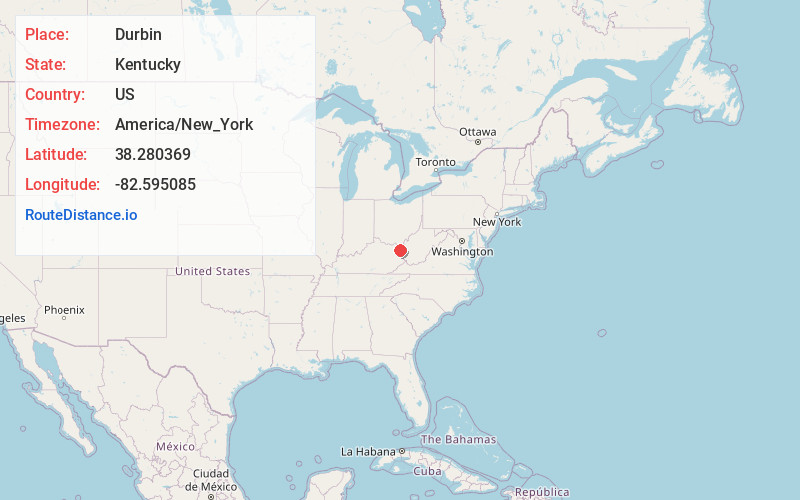
Full AddressDurbin, KY 41129
-
Coordinates38.280369, -82.595085
-
LocationDurbin , Kentucky , US
-
TimezoneAmerica/New_York
-
Current Local Time1:07:51 PM America/New_YorkTuesday, June 24, 2025
-
Page Views0
About Durbin
Durbin, Kentucky is an unincorporated community situated along Kentucky Route 752 and Durbin Creek in southern Boyd County, Kentucky. The post office was established on March 5, 1900, with Robert Struther as postmaster, and was named for Amos Durbin, an early explorer.
Nearby Places
Found 10 places within 50 miles

Lockwood
2.0 mi
3.2 km
Lockwood, KY 41129
Get directions
Prichard
2.8 mi
4.5 km
Prichard, WV 25555
Get directions
Mavity
7.2 mi
11.6 km
Mavity, KY 41129
Get directions
Hewlet
8.0 mi
12.9 km
Hewlet, WV 25514
Get directions

Kenova
8.2 mi
13.2 km
Kenova, WV
Get directions

Ceredo
8.3 mi
13.4 km
Ceredo, WV
Get directions

Lavalette
8.6 mi
13.8 km
Lavalette, WV 25535
Get directions

Catlettsburg
8.6 mi
13.8 km
Catlettsburg, KY 41129
Get directions
Wayne
9.2 mi
14.8 km
Wayne, WV 25570
Get directions

Burlington
9.3 mi
15.0 km
Burlington, OH 45680
Get directions
Location Links
Local Weather
Weather Information
Coming soon!
Location Map
Static map view of Durbin, Kentucky
Browse Places by Distance
Places within specific distances from Durbin
Short Distances
Long Distances
Click any distance to see all places within that range from Durbin. Distances shown in miles (1 mile ≈ 1.61 kilometers).