Distance to Lavalette, West Virginia

Calculating Your Route
Just a moment while we process your request...
Location Information
-
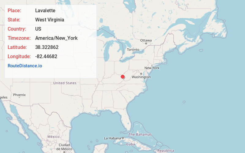
Full AddressLavalette, WV 25535
-
Coordinates38.3228619, -82.4468201
-
LocationLavalette , West Virginia , US
-
TimezoneAmerica/New_York
-
Current Local Time1:43:46 PM America/New_YorkWednesday, June 18, 2025
-
Page Views0
About Lavalette
Lavalette is a census-designated place in Wayne County, West Virginia, in the United States. As of the 2010 census, its population was 1,073. Lavalette is located at the intersection of West Virginia Route 152 and West Virginia Route 75, eight miles south of Huntington.

Nearby Places
Found 10 places within 50 miles

Huntington
6.7 mi
10.8 km
Huntington, WV
Get directions

Wayne
7.0 mi
11.3 km
Wayne, WV 25570
Get directions

Chesapeake
7.3 mi
11.7 km
Chesapeake, OH 45619
Get directions

Burlington
7.6 mi
12.2 km
Burlington, OH 45680
Get directions

Ceredo
7.9 mi
12.7 km
Ceredo, WV
Get directions

Kenova
8.9 mi
14.3 km
Kenova, WV
Get directions
Pea Ridge
9.3 mi
15.0 km
Pea Ridge, WV
Get directions

South Point
10.0 mi
16.1 km
South Point, OH 45680
Get directions

Catlettsburg
10.1 mi
16.3 km
Catlettsburg, KY 41129
Get directions

Barboursville
10.2 mi
16.4 km
Barboursville, WV
Get directions
Location Links
Local Weather
Weather Information
Coming soon!
Location Map
Static map view of Lavalette, West Virginia
Browse Places by Distance
Places within specific distances from Lavalette
Short Distances
Long Distances
Click any distance to see all places within that range from Lavalette. Distances shown in miles (1 mile ≈ 1.61 kilometers).