Distance to South Point, Ohio

Calculating Your Route
Just a moment while we process your request...
Location Information
-
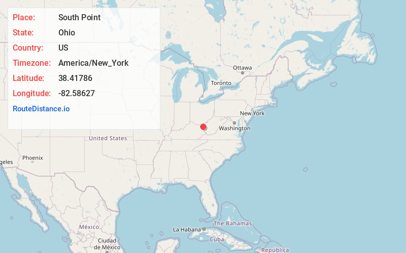
Full AddressSouth Point, OH 45680
-
Coordinates38.4178597, -82.5862699
-
LocationSouth Point , Ohio , US
-
TimezoneAmerica/New_York
-
Current Local Time3:42:29 PM America/New_YorkSaturday, June 28, 2025
-
Website
-
Page Views0
About South Point
South Point is a village in Lawrence County, Ohio, United States, along the Ohio River. The population was 3,836 at the 2020 census. It is part of the Huntington–Ashland metropolitan area. It is the southern-most incorporated municipality in the State of Ohio.


Nearby Places
Found 10 places within 50 miles

Ashland
5.1 mi
8.2 km
Ashland, KY
Get directions

Westwood
6.4 mi
10.3 km
Westwood, KY
Get directions

Huntington
7.6 mi
12.2 km
Huntington, WV
Get directions

Russell
9.1 mi
14.6 km
Russell, KY
Get directions

Ironton
9.7 mi
15.6 km
Ironton, OH 45638
Get directions

Flatwoods
10.1 mi
16.3 km
Flatwoods, KY
Get directions
Pea Ridge
14.4 mi
23.2 km
Pea Ridge, WV
Get directions

Barboursville
15.8 mi
25.4 km
Barboursville, WV
Get directions

Grayson
20.5 mi
33.0 km
Grayson, KY 41143
Get directions

Wheelersburg
26.0 mi
41.8 km
Wheelersburg, OH
Get directions
Location Links
Local Weather
Weather Information
Coming soon!
Location Map
Static map view of South Point, Ohio
Browse Places by Distance
Places within specific distances from South Point
Short Distances
Long Distances
Click any distance to see all places within that range from South Point. Distances shown in miles (1 mile ≈ 1.61 kilometers).