Distance to Buck Stand, South Carolina

Calculating Your Route
Just a moment while we process your request...
Location Information
-
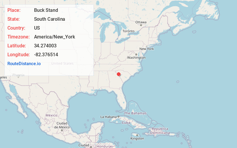
Full AddressBuck Stand, SC 29620
-
Coordinates34.2740031, -82.3765136
-
LocationSouth Carolina , US
-
TimezoneAmerica/New_York
-
Current Local Time9:15:30 PM America/New_YorkSunday, June 22, 2025
-
Page Views0
Nearby Places
Found 10 places within 50 miles

Central-Shiloh
2.1 mi
3.4 km
Central-Shiloh, SC 29620
Get directions

Due West
4.2 mi
6.8 km
Due West, SC 29639
Get directions
Millers Mill
5.6 mi
9.0 km
Millers Mill, SC 29620
Get directions

Abbeville
6.6 mi
10.6 km
Abbeville, SC 29620
Get directions
Level Land
6.8 mi
10.9 km
Level Land, SC 29655
Get directions

Donalds
7.3 mi
11.7 km
Donalds, SC 29638
Get directions

Hodges
7.6 mi
12.2 km
Hodges, SC 29653
Get directions
Downs Siding
9.1 mi
14.6 km
Downs Siding, SC 29653
Get directions
Cokesbury
9.7 mi
15.6 km
Cokesbury, SC 29653
Get directions
Antreville
9.7 mi
15.6 km
Antreville, SC
Get directions
Location Links
Local Weather
Weather Information
Coming soon!
Location Map
Static map view of Buck Stand, South Carolina
Browse Places by Distance
Places within specific distances from Buck Stand
Short Distances
Long Distances
Click any distance to see all places within that range from Buck Stand. Distances shown in miles (1 mile ≈ 1.61 kilometers).