Distance to Bucyrus, Kansas

Calculating Your Route
Just a moment while we process your request...
Location Information
-
Full AddressBucyrus, KS 66013
-
Coordinates38.7237618, -94.7185421
-
LocationBucyrus , Kansas , US
-
TimezoneAmerica/Chicago
-
Current Local Time10:48:50 AM America/ChicagoSaturday, June 7, 2025
-
Page Views0
About Bucyrus
Bucyrus is a census-designated place in Miami County, Kansas, United States. As of the 2020 census, the population was 171. It is located 6 miles east-southeast of Spring Hill, and named after Bucyrus, Ohio.
Nearby Places
Found 10 places within 50 miles

Spring Hill
5.9 mi
9.5 km
Spring Hill, KS
Get directions

Cleveland
7.4 mi
11.9 km
Cleveland, MO 64734
Get directions

Louisburg
7.5 mi
12.1 km
Louisburg, KS 66053
Get directions

Hillsdale
8.4 mi
13.5 km
Hillsdale, KS 66071
Get directions

West Line
9.6 mi
15.4 km
West Line, MO 64734
Get directions
Loch Lloyd
10.0 mi
16.1 km
Loch Lloyd, MO 64012
Get directions

Belton
11.8 mi
19.0 km
Belton, MO 64012
Get directions

Olathe
12.2 mi
19.6 km
Olathe, KS
Get directions

Gardner
12.7 mi
20.4 km
Gardner, KS
Get directions

Paola
13.6 mi
21.9 km
Paola, KS 66071
Get directions
Location Links
Local Weather
Weather Information
Coming soon!
Location Map
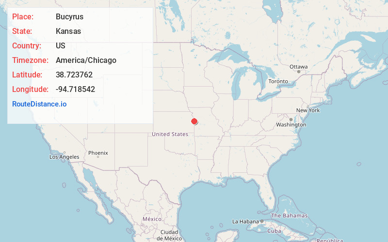
Static map view of Bucyrus, Kansas
Browse Places by Distance
Places within specific distances from Bucyrus
Short Distances
Long Distances
Click any distance to see all places within that range from Bucyrus. Distances shown in miles (1 mile ≈ 1.61 kilometers).