Distance to Paola, Kansas

Calculating Your Route
Just a moment while we process your request...
Location Information
-
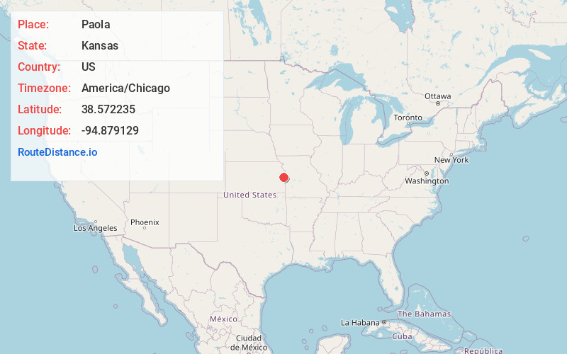
Full AddressPaola, KS 66071
-
Coordinates38.5722353, -94.8791294
-
LocationPaola , Kansas , US
-
TimezoneAmerica/Chicago
-
Current Local Time11:24:23 AM America/ChicagoSaturday, June 21, 2025
-
Website
-
Page Views0
About Paola
Paola is a city in and the county seat of Miami County, Kansas, United States. As of the 2020 census, the population of the city was 5,768.


Nearby Places
Found 10 places within 50 miles

Spring Hill
12.2 mi
19.6 km
Spring Hill, KS
Get directions

Gardner
16.7 mi
26.9 km
Gardner, KS
Get directions

Ottawa
21.2 mi
34.1 km
Ottawa, KS 66067
Get directions

Olathe
21.6 mi
34.8 km
Olathe, KS
Get directions

Belton
25.0 mi
40.2 km
Belton, MO 64012
Get directions

Lenexa
27.5 mi
44.3 km
Lenexa, KS
Get directions

Raymore
27.9 mi
44.9 km
Raymore, MO 64083
Get directions

Eudora
28.2 mi
45.4 km
Eudora, KS 66025
Get directions

De Soto
28.5 mi
45.9 km
De Soto, KS
Get directions

Grandview
28.6 mi
46.0 km
Grandview, MO
Get directions
Location Links
Local Weather
Weather Information
Coming soon!
Location Map
Static map view of Paola, Kansas
Browse Places by Distance
Places within specific distances from Paola
Short Distances
Long Distances
Click any distance to see all places within that range from Paola. Distances shown in miles (1 mile ≈ 1.61 kilometers).