Distance to De Soto, Kansas

Calculating Your Route
Just a moment while we process your request...
Location Information
-
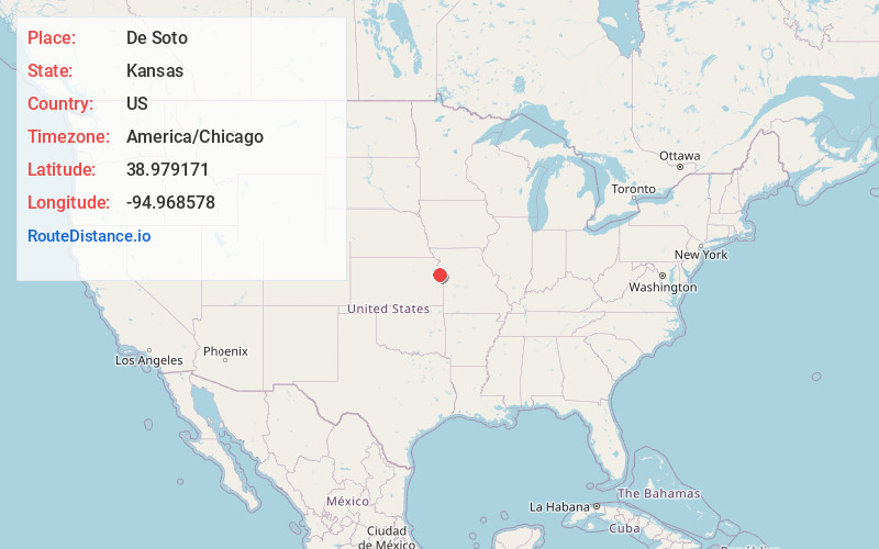
Full AddressDe Soto, KS
-
Coordinates38.9791709, -94.9685783
-
LocationDe Soto , Kansas , US
-
TimezoneAmerica/Chicago
-
Current Local Time8:23:48 AM America/ChicagoWednesday, June 4, 2025
-
Page Views0
About De Soto
De Soto is a city along the Kansas River, in Johnson and Leavenworth counties in the U.S. state of Kansas, and part of the Kansas City Metropolitan Area. As of the 2020 census, the population of the city was 6,118, and the 2021 estimate is 6,380.


Nearby Places
Found 10 places within 50 miles

Bonner Springs
7.2 mi
11.6 km
Bonner Springs, KS
Get directions

Olathe
10.5 mi
16.9 km
Olathe, KS
Get directions

Basehor
11.3 mi
18.2 km
Basehor, KS 66007
Get directions

Gardner
11.8 mi
19.0 km
Gardner, KS
Get directions

Lenexa
12.7 mi
20.4 km
Lenexa, KS
Get directions

Shawnee
13.9 mi
22.4 km
Shawnee, KS
Get directions

Lawrence
14.3 mi
23.0 km
Lawrence, KS
Get directions
Merriam
15.1 mi
24.3 km
Merriam, KS
Get directions

Overland Park
16.0 mi
25.7 km
Overland Park, KS
Get directions

Mission
17.1 mi
27.5 km
Mission, KS
Get directions
Location Links
Local Weather
Weather Information
Coming soon!
Location Map
Static map view of De Soto, Kansas
Browse Places by Distance
Places within specific distances from De Soto
Short Distances
Long Distances
Click any distance to see all places within that range from De Soto. Distances shown in miles (1 mile ≈ 1.61 kilometers).