Distance to Bucyrus, Missouri

Calculating Your Route
Just a moment while we process your request...
Location Information
-
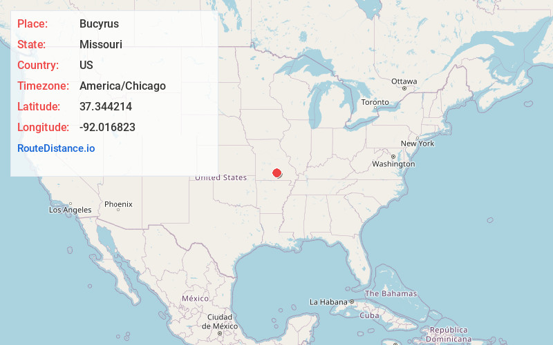
Full AddressBucyrus, MO 65444
-
Coordinates37.3442143, -92.0168233
-
LocationBucyrus , Missouri , US
-
TimezoneAmerica/Chicago
-
Current Local Time7:43:54 AM America/ChicagoSaturday, June 7, 2025
-
Page Views0
About Bucyrus
Bucyrus is an unincorporated community in central Texas County, Missouri, United States. It is located on Route 17, approximately three miles northwest of Houston. The ZIP Code for Bucyrus is 65444.
An early variant name was "Odd". A post office called Bucyrus has been in operation since 1898.
Nearby Places
Found 10 places within 50 miles

Clara
3.1 mi
5.0 km
Clara, MO 65483
Get directions
Houston
3.6 mi
5.8 km
Houston, MO 65483
Get directions
Plum Valley
3.8 mi
6.1 km
Plum Valley, Piney Township, MO 65444
Get directions
Ellis Prairie
4.9 mi
7.9 km
Ellis Prairie, MO 65444
Get directions
Dykes
5.5 mi
8.9 km
Dykes, MO 65444
Get directions
Bado
7.8 mi
12.6 km
Bado, Morris Township, MO 65689
Get directions
Simmons
7.9 mi
12.7 km
Simmons, MO 65689
Get directions
Upton
8.3 mi
13.4 km
Upton, MO 65444
Get directions
Prescott
8.3 mi
13.4 km
Prescott, Lynch Township, MO 65542
Get directions
Vada
9.0 mi
14.5 km
Vada, Lynch Township, MO 65542
Get directions
Location Links
Local Weather
Weather Information
Coming soon!
Location Map
Static map view of Bucyrus, Missouri
Browse Places by Distance
Places within specific distances from Bucyrus
Short Distances
Long Distances
Click any distance to see all places within that range from Bucyrus. Distances shown in miles (1 mile ≈ 1.61 kilometers).