Distance to Houston, Missouri

Calculating Your Route
Just a moment while we process your request...
Location Information
-
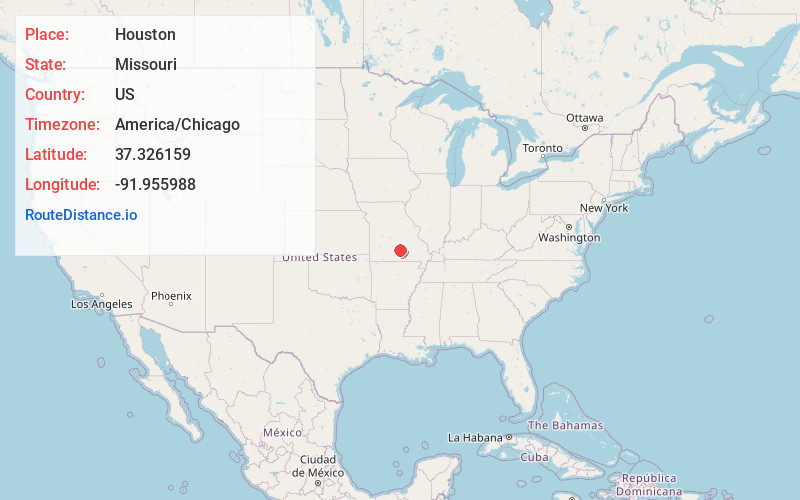
Full AddressHouston, MO 65483
-
Coordinates37.3261588, -91.955988
-
LocationHouston , Missouri , US
-
TimezoneAmerica/Chicago
-
Current Local Time3:57:18 PM America/ChicagoThursday, June 19, 2025
-
Website
-
Page Views0
About Houston
Houston is a city in Texas County, Missouri, United States. The population was 2,079 at the 2020 census. It is the county seat of Texas County.
Nearby Places
Found 10 places within 50 miles

Licking
13.1 mi
21.1 km
Licking, MO 65542
Get directions

Cabool
16.1 mi
25.9 km
Cabool, MO 65689
Get directions

Mountain Grove
21.7 mi
34.9 km
Mountain Grove, MO 65711
Get directions

Mountain View
26.7 mi
43.0 km
Mountain View, MO 65548
Get directions

Fort Leonard Wood
29.9 mi
48.1 km
Fort Leonard Wood, MO
Get directions

Salem
31.9 mi
51.3 km
Salem, MO 65560
Get directions

St Robert
36.7 mi
59.1 km
St Robert, MO
Get directions

Waynesville
37.2 mi
59.9 km
Waynesville, MO 65583
Get directions

West Plains
41.7 mi
67.1 km
West Plains, MO 65775
Get directions

Rolla
44.2 mi
71.1 km
Rolla, MO
Get directions
Location Links
Local Weather
Weather Information
Coming soon!
Location Map
Static map view of Houston, Missouri
Browse Places by Distance
Places within specific distances from Houston
Short Distances
Long Distances
Click any distance to see all places within that range from Houston. Distances shown in miles (1 mile ≈ 1.61 kilometers).