Distance to Mountain Grove, Missouri

Calculating Your Route
Just a moment while we process your request...
Location Information
-
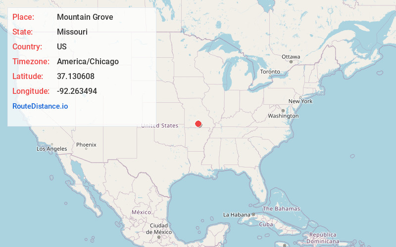
Full AddressMountain Grove, MO 65711
-
Coordinates37.1306078, -92.2634942
-
LocationMountain Grove , Missouri , US
-
TimezoneAmerica/Chicago
-
Current Local Time11:25:21 AM America/ChicagoSaturday, June 7, 2025
-
Page Views0
About Mountain Grove
Mountain Grove is a city in Wright County and Texas County in the U.S. state of Missouri. It lies within the Ozarks in the south-central part of the state. The population was 4,313 at the 2020 census.


Nearby Places
Found 7 places within 50 miles

West Plains
35.9 mi
57.8 km
West Plains, MO 65775
Get directions

Marshfield
38.0 mi
61.2 km
Marshfield, MO 65706
Get directions

Fort Leonard Wood
41.4 mi
66.6 km
Fort Leonard Wood, MO
Get directions

Rogersville
43.7 mi
70.3 km
Rogersville, MO 65742
Get directions

Lebanon
43.9 mi
70.7 km
Lebanon, MO 65536
Get directions

Waynesville
48.4 mi
77.9 km
Waynesville, MO 65583
Get directions

St Robert
48.4 mi
77.9 km
St Robert, MO
Get directions
Location Links
Local Weather
Weather Information
Coming soon!
Location Map
Static map view of Mountain Grove, Missouri
Browse Places by Distance
Places within specific distances from Mountain Grove
Short Distances
Long Distances
Click any distance to see all places within that range from Mountain Grove. Distances shown in miles (1 mile ≈ 1.61 kilometers).