Distance to Bud, Indiana

Calculating Your Route
Just a moment while we process your request...
Location Information
-
Full AddressBud, Union Township, IN 46131
-
Coordinates39.4469933, -86.1758225
-
LocationUnion Township , Indiana , US
-
TimezoneAmerica/Indianapolis
-
Page Views0
About Bud
Bud is an unincorporated community in Union Township, Johnson County, Indiana.
Nearby Places
Found 10 places within 50 miles

Johnson County
2.5 mi
4.0 km
Johnson County, IN
Get directions

Trafalgar
2.5 mi
4.0 km
Trafalgar, IN 46181
Get directions

Old Bargersville
5.0 mi
8.0 km
Old Bargersville, Bargersville, IN 46131
Get directions

Bargersville
5.1 mi
8.2 km
Bargersville, IN
Get directions

Franklin
6.9 mi
11.1 km
Franklin, IN
Get directions

Morgantown
6.9 mi
11.1 km
Morgantown, IN 46160
Get directions
Peoga
7.4 mi
11.9 km
Peoga, IN 46164
Get directions

Nineveh
7.6 mi
12.2 km
Nineveh, IN 46164
Get directions

Princes Lakes
7.7 mi
12.4 km
Princes Lakes, IN
Get directions
Exchange
8.7 mi
14.0 km
Exchange, Green Township, IN 46151
Get directions
Location Links
Local Weather
Weather Information
Coming soon!
Location Map
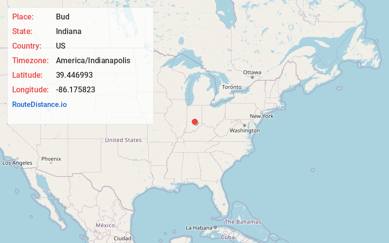
Static map view of Bud, Indiana
Browse Places by Distance
Places within specific distances from Bud
Short Distances
Long Distances
Click any distance to see all places within that range from Bud. Distances shown in miles (1 mile ≈ 1.61 kilometers).