Distance to Johnson County, Indiana

Calculating Your Route
Just a moment while we process your request...
Location Information
-
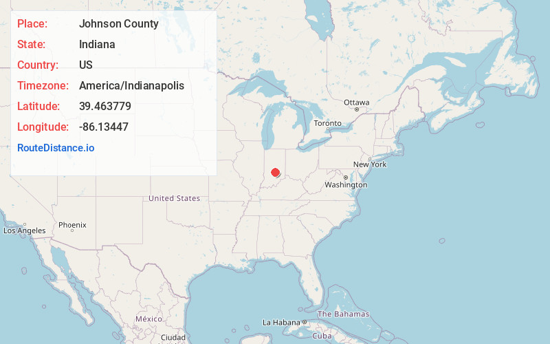
Full AddressJohnson County, IN
-
Coordinates39.4637793, -86.1344697
-
LocationIndiana , US
-
TimezoneAmerica/Indianapolis
-
Page Views0
About Johnson County
Johnson County is a county located in the U.S. state of Indiana. As of 2020, the population was 161,765. The county seat is Franklin. Johnson County is included in the Indianapolis-Carmel-Anderson, IN Metropolitan Statistical Area.


Nearby Places
Found 10 places within 50 miles

Trafalgar
3.4 mi
5.5 km
Trafalgar, IN 46181
Get directions

Bargersville
4.3 mi
6.9 km
Bargersville, IN
Get directions

Franklin
4.4 mi
7.1 km
Franklin, IN
Get directions

Whiteland
6.6 mi
10.6 km
Whiteland, IN 46184
Get directions
New Whiteland
6.8 mi
10.9 km
New Whiteland, IN 46184
Get directions

Nineveh
7.5 mi
12.1 km
Nineveh, IN 46164
Get directions

Princes Lakes
7.9 mi
12.7 km
Princes Lakes, IN
Get directions

Morgantown
9.3 mi
15.0 km
Morgantown, IN 46160
Get directions
Waverly
9.7 mi
15.6 km
Waverly, IN 46151
Get directions

Greenwood
10.5 mi
16.9 km
Greenwood, IN
Get directions
Location Links
Local Weather
Weather Information
Coming soon!
Location Map
Static map view of Johnson County, Indiana
Browse Places by Distance
Places within specific distances from Johnson County
Short Distances
Long Distances
Click any distance to see all places within that range from Johnson County. Distances shown in miles (1 mile ≈ 1.61 kilometers).