Distance to Bunker Hill, Tennessee

Calculating Your Route
Just a moment while we process your request...
Location Information
-
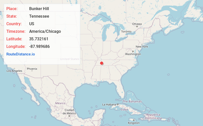
Full AddressBunker Hill, TN 37096
-
Coordinates35.7321607, -87.9896863
-
LocationBunker Hill , Tennessee , US
-
TimezoneAmerica/Chicago
-
Current Local Time7:59:17 AM America/ChicagoWednesday, June 4, 2025
-
Page Views0
About Bunker Hill
Bunker Hill is a location in Giles County, Tennessee.
It stands at an elevation of 630 feet.
Nearby Places
Found 10 places within 50 miles

Cozette
4.8 mi
7.7 km
Cozette, TN 38380
Get directions
Pope
7.8 mi
12.6 km
Pope, TN 37096
Get directions

Parsons
9.6 mi
15.4 km
Parsons, TN 38363
Get directions

Linden
11.6 mi
18.7 km
Linden, TN 37096
Get directions
Coxburg
11.8 mi
19.0 km
Coxburg, TN 38341
Get directions

Lobelville
11.9 mi
19.2 km
Lobelville, TN 37097
Get directions
New Safford
12.0 mi
19.3 km
New Safford, TN 38328
Get directions
Chestnut Grove
12.4 mi
20.0 km
Chestnut Grove, TN 37096
Get directions

Decaturville
12.6 mi
20.3 km
Decaturville, TN 38329
Get directions

Holladay
13.0 mi
20.9 km
Holladay, TN 38341
Get directions
Location Links
Local Weather
Weather Information
Coming soon!
Location Map
Static map view of Bunker Hill, Tennessee
Browse Places by Distance
Places within specific distances from Bunker Hill
Short Distances
Long Distances
Click any distance to see all places within that range from Bunker Hill. Distances shown in miles (1 mile ≈ 1.61 kilometers).