Distance to Chestnut Grove, Tennessee

Calculating Your Route
Just a moment while we process your request...
Location Information
-
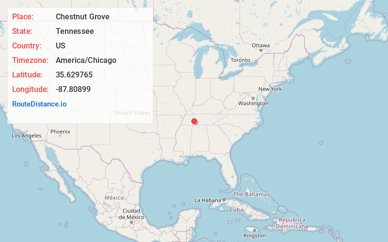
Full AddressChestnut Grove, TN 37096
-
Coordinates35.629765, -87.80899
-
LocationChestnut Grove , Tennessee , US
-
TimezoneAmerica/Chicago
-
Current Local Time3:22:11 AM America/ChicagoMonday, May 19, 2025
-
Page Views0
About Chestnut Grove
Chestnut Grove is an unincorporated community in Perry County, Tennessee, United States. Its elevation is 600 feet. Chestnut Grove is located along US Route 412 east of Linden, Tennessee. The Chestnut Grove Quadrangle of the United States' National Map is named after the community.
Nearby Places
Found 10 places within 50 miles

Linden
1.9 mi
3.1 km
Linden, TN 37096
Get directions

Sugar Hill
5.4 mi
8.7 km
Sugar Hill, TN 37096
Get directions

Lobelville
9.9 mi
15.9 km
Lobelville, TN 37097
Get directions
Pope
10.2 mi
16.4 km
Pope, TN 37096
Get directions
Whitfield
15.0 mi
24.1 km
Whitfield, TN 37033
Get directions

Hohenwald
15.5 mi
24.9 km
Hohenwald, TN 38462
Get directions
Mooney
15.9 mi
25.6 km
Mooney, TN 38425
Get directions

Decaturville
17.7 mi
28.5 km
Decaturville, TN 38329
Get directions

Parsons
17.9 mi
28.8 km
Parsons, TN 38363
Get directions

Clifton
19.8 mi
31.9 km
Clifton, TN 38425
Get directions
Location Links
Local Weather
Weather Information
Coming soon!
Location Map
Static map view of Chestnut Grove, Tennessee
Browse Places by Distance
Places within specific distances from Chestnut Grove
Short Distances
Long Distances
Click any distance to see all places within that range from Chestnut Grove. Distances shown in miles (1 mile ≈ 1.61 kilometers).