Distance to Clifton, Tennessee

Calculating Your Route
Just a moment while we process your request...
Location Information
-
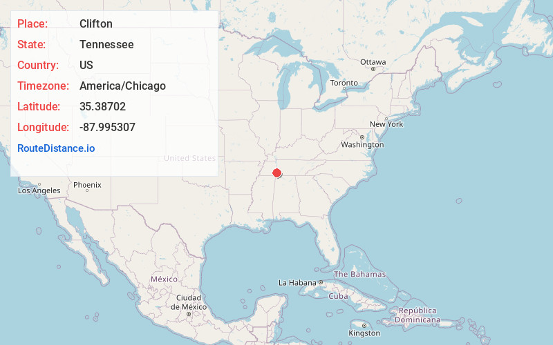
Full AddressClifton, TN 38425
-
Coordinates35.3870197, -87.9953067
-
LocationClifton , Tennessee , US
-
TimezoneAmerica/Chicago
-
Current Local Time11:22:15 PM America/ChicagoSunday, June 22, 2025
-
Page Views0
About Clifton
Clifton is a city in Wayne County, Tennessee, on the state's south central border with Alabama. It developed as a river port along the Tennessee River in the 19th century. Its historic districts listed on the National Register of Historic Places are associated with this period.


Nearby Places
Found 10 places within 50 miles

Savannah
18.0 mi
29.0 km
Savannah, TN 38372
Get directions

Hohenwald
27.3 mi
43.9 km
Hohenwald, TN 38462
Get directions

Lexington
28.9 mi
46.5 km
Lexington, TN 38351
Get directions

Selmer
36.9 mi
59.4 km
Selmer, TN 38375
Get directions

Lawrenceburg
38.6 mi
62.1 km
Lawrenceburg, TN
Get directions

Underwood-Petersville
39.0 mi
62.8 km
Underwood-Petersville, AL
Get directions

Centerville
40.2 mi
64.7 km
Centerville, TN
Get directions

Iuka
41.2 mi
66.3 km
Iuka, MS 38852
Get directions

Corinth
43.2 mi
69.5 km
Corinth, MS 38834
Get directions

Florence
44.4 mi
71.5 km
Florence, AL
Get directions
Location Links
Local Weather
Weather Information
Coming soon!
Location Map
Static map view of Clifton, Tennessee
Browse Places by Distance
Places within specific distances from Clifton
Short Distances
Long Distances
Click any distance to see all places within that range from Clifton. Distances shown in miles (1 mile ≈ 1.61 kilometers).