Distance to Burbank, South Dakota

Calculating Your Route
Just a moment while we process your request...
Location Information
-
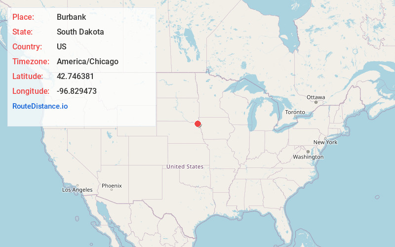
Full AddressBurbank, SD 57010
-
Coordinates42.7463806, -96.8294732
-
LocationBurbank , South Dakota , US
-
TimezoneAmerica/Chicago
-
Current Local Time8:09:21 PM America/ChicagoFriday, June 6, 2025
-
Page Views0
About Burbank
Burbank is an unincorporated community and a census-designated place in Clay County, South Dakota, United States. The population was 93 at the 2020 census.
Burbank was laid out in 1873, and it is named in honor of John A. Burbank, the fourth Governor of Dakota Territory.
Nearby Places
Found 10 places within 50 miles

Vermillion
5.6 mi
9.0 km
Vermillion, SD 57069
Get directions

Newcastle
6.9 mi
11.1 km
Newcastle, NE 68757
Get directions

Elk Point
8.6 mi
13.8 km
Elk Point, SD 57025
Get directions
Richland
9.0 mi
14.5 km
Richland, SD 57025
Get directions

Westfield
11.5 mi
18.5 km
Westfield, IA 51062
Get directions
Ponca
14.2 mi
22.9 km
Ponca, NE 68770
Get directions
Akron
14.8 mi
23.8 km
Akron, IA 51001
Get directions

Jefferson
17.0 mi
27.4 km
Jefferson, SD 57038
Get directions
Bow Valley Mills
17.2 mi
27.7 km
Bow Valley Mills, Precinct 5, NE 68792
Get directions
Wynot
17.2 mi
27.7 km
Wynot, NE 68792
Get directions
Location Links
Local Weather
Weather Information
Coming soon!
Location Map
Static map view of Burbank, South Dakota
Browse Places by Distance
Places within specific distances from Burbank
Short Distances
Long Distances
Click any distance to see all places within that range from Burbank. Distances shown in miles (1 mile ≈ 1.61 kilometers).