Distance to Burning Bush, Georgia

Calculating Your Route
Just a moment while we process your request...
Location Information
-
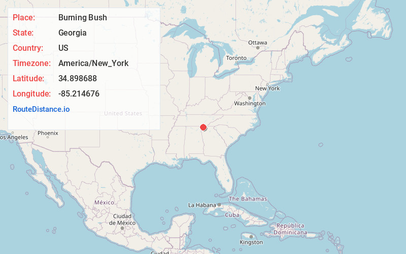
Full AddressBurning Bush, GA 30736
-
Coordinates34.8986876, -85.2146762
-
LocationBurning Bush , Georgia , US
-
TimezoneAmerica/New_York
-
Current Local Time8:17:17 PM America/New_YorkWednesday, July 2, 2025
-
Page Views0
Nearby Places
Found 10 places within 50 miles

Cinderella Hills
4.0 mi
6.4 km
Cinderella Hills, GA 30736
Get directions
Love Hill
4.1 mi
6.6 km
Love Hill, GA 30736
Get directions

Fort Oglethorpe
4.2 mi
6.8 km
Fort Oglethorpe, GA
Get directions
Beaumount
4.4 mi
7.1 km
Beaumount, GA 30736
Get directions

Chickamauga
4.7 mi
7.6 km
Chickamauga, GA 30707
Get directions

Rock Spring
5.4 mi
8.7 km
Rock Spring, GA 30739
Get directions
Beverly Hills
5.8 mi
9.3 km
Beverly Hills, GA 30741
Get directions

Ringgold
6.1 mi
9.8 km
Ringgold, GA
Get directions

Lakeview
6.1 mi
9.8 km
Lakeview, GA 30741
Get directions
Mission Oaks
6.6 mi
10.6 km
Mission Oaks, East Ridge, TN 37412
Get directions
Location Links
Local Weather
Weather Information
Coming soon!
Location Map
Static map view of Burning Bush, Georgia
Browse Places by Distance
Places within specific distances from Burning Bush
Short Distances
Long Distances
Click any distance to see all places within that range from Burning Bush. Distances shown in miles (1 mile ≈ 1.61 kilometers).