Distance to Fort Oglethorpe, Georgia

Calculating Your Route
Just a moment while we process your request...
Location Information
-
Full AddressFort Oglethorpe, GA
-
Coordinates34.9489645, -85.2569
-
LocationFort Oglethorpe , Georgia , US
-
TimezoneAmerica/New_York
-
Current Local Time11:20:30 PM America/New_YorkThursday, June 19, 2025
-
Page Views0
About Fort Oglethorpe
Fort Oglethorpe is a city predominantly in Catoosa County with some portions in Walker County in the U.S. state of Georgia. As of the 2020 census, the city had a population of 10,423. It is part of the Chattanooga, Tennessee–Georgia Metropolitan Statistical Area. It is home to Lakeview – Fort Oglethorpe High School.


Nearby Places
Found 10 places within 50 miles

East Ridge
3.6 mi
5.8 km
East Ridge, TN
Get directions

Chattanooga
7.3 mi
11.7 km
Chattanooga, TN
Get directions

Red Bank
11.5 mi
18.5 km
Red Bank, TN
Get directions

Collegedale
13.7 mi
22.0 km
Collegedale, TN
Get directions

Middle Valley
17.5 mi
28.2 km
Middle Valley, TN 37343
Get directions

Soddy-Daisy
20.2 mi
32.5 km
Soddy-Daisy, TN
Get directions

Dalton
20.4 mi
32.8 km
Dalton, GA
Get directions

Cleveland
26.0 mi
41.8 km
Cleveland, TN
Get directions

Calhoun
35.4 mi
57.0 km
Calhoun, GA
Get directions

Fort Payne
43.7 mi
70.3 km
Fort Payne, AL
Get directions
Location Links
Local Weather
Weather Information
Coming soon!
Location Map
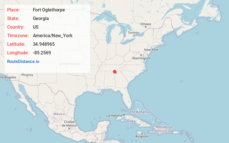
Static map view of Fort Oglethorpe, Georgia
Browse Places by Distance
Places within specific distances from Fort Oglethorpe
Short Distances
Long Distances
Click any distance to see all places within that range from Fort Oglethorpe. Distances shown in miles (1 mile ≈ 1.61 kilometers).