Distance to Burns, Wyoming

Calculating Your Route
Just a moment while we process your request...
Location Information
-
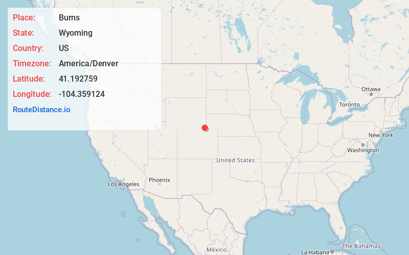
Full AddressBurns, WY 82053
-
Coordinates41.1927591, -104.3591244
-
LocationBurns , Wyoming , US
-
TimezoneAmerica/Denver
-
Current Local Time5:38:07 AM America/DenverThursday, June 19, 2025
-
Page Views0
About Burns
Burns is a town in Laramie County, Wyoming, United States. It is part of the Cheyenne, Wyoming Metropolitan Statistical Area. The population was 301 at the 2010 census.
Nearby Places
Found 10 places within 50 miles

Pine Bluffs
15.1 mi
24.3 km
Pine Bluffs, WY 82082
Get directions

Ranchettes
22.5 mi
36.2 km
Ranchettes, WY 82009
Get directions

Fox Farm-College
22.6 mi
36.4 km
Fox Farm-College, WY
Get directions

South Greeley
24.2 mi
38.9 km
South Greeley, WY 82007
Get directions

Cheyenne
24.4 mi
39.3 km
Cheyenne, WY
Get directions

Kimball
36.3 mi
58.4 km
Kimball, NE 69145
Get directions

Nunn
40.3 mi
64.9 km
Nunn, CO 80648
Get directions

Pierce
43.7 mi
70.3 km
Pierce, CO 80650
Get directions

Ault
46.4 mi
74.7 km
Ault, CO
Get directions

Wellington
47.9 mi
77.1 km
Wellington, CO 80549
Get directions
Location Links
Local Weather
Weather Information
Coming soon!
Location Map
Static map view of Burns, Wyoming
Browse Places by Distance
Places within specific distances from Burns
Short Distances
Long Distances
Click any distance to see all places within that range from Burns. Distances shown in miles (1 mile ≈ 1.61 kilometers).