Distance to Burns Park, Arkansas

Calculating Your Route
Just a moment while we process your request...
Location Information
-
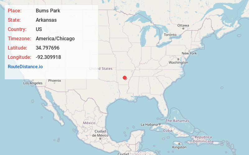
Full AddressBurns Park, North Little Rock, AR 72118
-
Coordinates34.7976957, -92.3099177
-
LocationNorth Little Rock , Arkansas , US
-
TimezoneAmerica/Chicago
-
Current Local Time8:55:20 PM America/ChicagoThursday, June 19, 2025
-
Page Views0
About Burns Park
Park offering ball fields, a 36-hole golf course, multi-use trails & fishing in the Arkansas River.


Nearby Places
Found 10 places within 50 miles

Crystal Hill
1.3 mi
2.1 km
Crystal Hill, AR 72118
Get directions
Haig
1.5 mi
2.4 km
Haig, AR 72118
Get directions

Jeffrey
1.8 mi
2.9 km
Jeffrey, AR 72118
Get directions
Cammack Village
2.3 mi
3.7 km
Cammack Village, AR 72207
Get directions

Little Rock
3.9 mi
6.3 km
Little Rock, AR
Get directions
Sylvan Hills
5.2 mi
8.4 km
Sylvan Hills, Sherwood, AR 72120
Get directions
Marche
5.4 mi
8.7 km
Marche, AR 72113
Get directions
Blue Hill
5.5 mi
8.9 km
Blue Hill, AR 72118
Get directions
Fairman
5.7 mi
9.2 km
Fairman, North Little Rock, AR 72117
Get directions

Big Rock Township
5.8 mi
9.3 km
Big Rock Township, AR
Get directions
Location Links
Local Weather
Weather Information
Coming soon!
Location Map
Static map view of Burns Park, Arkansas
Browse Places by Distance
Places within specific distances from Burns Park
Short Distances
Long Distances
Click any distance to see all places within that range from Burns Park. Distances shown in miles (1 mile ≈ 1.61 kilometers).