Distance to Crystal Hill, Arkansas

Calculating Your Route
Just a moment while we process your request...
Location Information
-
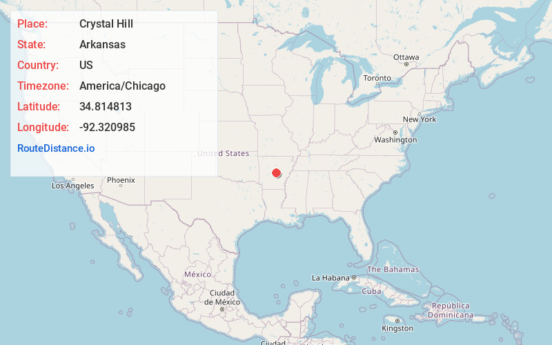
Full AddressCrystal Hill, AR 72118
-
Coordinates34.814813, -92.3209853
-
LocationCrystal Hill , Arkansas , US
-
TimezoneAmerica/Chicago
-
Current Local Time2:47:35 PM America/ChicagoWednesday, June 18, 2025
-
Page Views0
About Crystal Hill
Crystal Hill is an unincorporated community in Hill Township, Pulaski County, Arkansas, United States. It is located along Crystal Hill Road near the junction of Interstate 40 and I-430.
Nearby Places
Found 10 places within 50 miles

Cammack Village
2.7 mi
4.3 km
Cammack Village, AR 72207
Get directions

Little Rock
5.2 mi
8.4 km
Little Rock, AR
Get directions

Maumelle
5.8 mi
9.3 km
Maumelle, AR
Get directions
McAlmont
7.3 mi
11.7 km
McAlmont, AR 72117
Get directions

Sherwood
7.5 mi
12.1 km
Sherwood, AR
Get directions

College Station
9.2 mi
14.8 km
College Station, AR 72206
Get directions
Natural Steps
9.3 mi
15.0 km
Natural Steps, AR 72135
Get directions
Sweet Home
9.9 mi
15.9 km
Sweet Home, AR 72206
Get directions

Mayflower
11.5 mi
18.5 km
Mayflower, AR
Get directions

Jacksonville
11.6 mi
18.7 km
Jacksonville, AR
Get directions
Location Links
Local Weather
Weather Information
Coming soon!
Location Map
Static map view of Crystal Hill, Arkansas
Browse Places by Distance
Places within specific distances from Crystal Hill
Short Distances
Long Distances
Click any distance to see all places within that range from Crystal Hill. Distances shown in miles (1 mile ≈ 1.61 kilometers).