Distance to Sweet Home, Arkansas

Calculating Your Route
Just a moment while we process your request...
Location Information
-
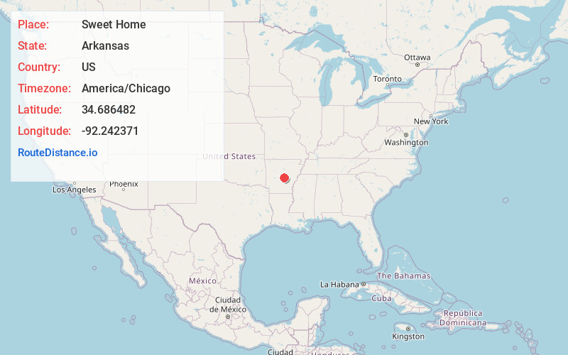
Full AddressSweet Home, AR 72206
-
Coordinates34.6864815, -92.2423711
-
LocationSweet Home , Arkansas , US
-
TimezoneAmerica/Chicago
-
Current Local Time7:08:21 PM America/ChicagoMonday, June 2, 2025
-
Page Views0
About Sweet Home
Sweet Home is a census-designated place in Pulaski County, Arkansas, United States. Its population was 849 at the 2010 census. It is part of the 'Little Rock-North Little Rock-AR Metropolitan Statistical Area'.
It is a majority African-American area.
Nearby Places
Found 10 places within 50 miles

Little Rock
4.8 mi
7.7 km
Little Rock, AR
Get directions

Wrightsville
5.0 mi
8.0 km
Wrightsville, AR 72206
Get directions

Landmark
7.4 mi
11.9 km
Landmark, AR 72206
Get directions
McAlmont
7.6 mi
12.2 km
McAlmont, AR 72117
Get directions

Shannon Hills
9.7 mi
15.6 km
Shannon Hills, AR
Get directions

Sherwood
10.5 mi
16.9 km
Sherwood, AR
Get directions

East End
10.9 mi
17.5 km
East End, AR
Get directions

Alexander
12.7 mi
20.4 km
Alexander, AR
Get directions

Jacksonville
14.1 mi
22.7 km
Jacksonville, AR
Get directions

Bryant
15.2 mi
24.5 km
Bryant, AR
Get directions
Location Links
Local Weather
Weather Information
Coming soon!
Location Map
Static map view of Sweet Home, Arkansas
Browse Places by Distance
Places within specific distances from Sweet Home
Short Distances
Long Distances
Click any distance to see all places within that range from Sweet Home. Distances shown in miles (1 mile ≈ 1.61 kilometers).