Distance to Alexander, Arkansas

Calculating Your Route
Just a moment while we process your request...
Location Information
-
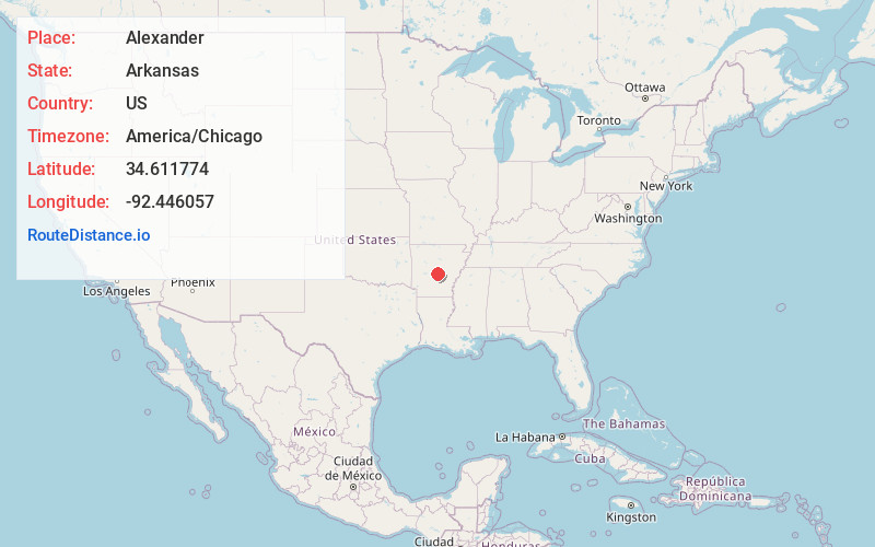
Full AddressAlexander, AR
-
Coordinates34.6117735, -92.4460572
-
LocationAlexander , Arkansas , US
-
TimezoneAmerica/Chicago
-
Current Local Time9:24:53 PM America/ChicagoTuesday, June 17, 2025
-
Page Views0
About Alexander
Alexander is a city in Pulaski and Saline counties in the U.S. state of Arkansas. Located in Central Arkansas, the town was founded as a construction camp for the nearby railroad. Following its completion, the citizens decided to incorporate in 1887.


Nearby Places
Found 10 places within 50 miles

Shannon Hills
3.0 mi
4.8 km
Shannon Hills, AR
Get directions

Bryant
3.2 mi
5.1 km
Bryant, AR
Get directions

Landmark
6.5 mi
10.5 km
Landmark, AR 72206
Get directions

East End
7.3 mi
11.7 km
East End, AR
Get directions

Benton
8.5 mi
13.7 km
Benton, AR
Get directions

Little Rock
12.8 mi
20.6 km
Little Rock, AR
Get directions

Haskell
13.3 mi
21.4 km
Haskell, AR 72015
Get directions

Maumelle
18.1 mi
29.1 km
Maumelle, AR
Get directions

Sherwood
21.0 mi
33.8 km
Sherwood, AR
Get directions

Sheridan
21.2 mi
34.1 km
Sheridan, AR 72150
Get directions
Location Links
Local Weather
Weather Information
Coming soon!
Location Map
Static map view of Alexander, Arkansas
Browse Places by Distance
Places within specific distances from Alexander
Short Distances
Long Distances
Click any distance to see all places within that range from Alexander. Distances shown in miles (1 mile ≈ 1.61 kilometers).