Distance to Burns, Colorado

Calculating Your Route
Just a moment while we process your request...
Location Information
-
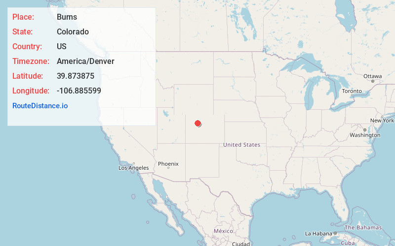
Full AddressBurns, CO 80426
-
Coordinates39.8738754, -106.8855987
-
LocationBurns , Colorado , US
-
TimezoneAmerica/Denver
-
Current Local Time10:33:32 PM America/DenverFriday, June 20, 2025
-
Page Views1
About Burns
Burns is an unincorporated community in northern Eagle County, Colorado, United States.


Nearby Places
Found 10 places within 50 miles

McCoy
8.9 mi
14.3 km
McCoy, CO
Get directions

Bond
10.5 mi
16.9 km
Bond, CO 80423
Get directions

Yarmony Mountain
13.3 mi
21.4 km
Yarmony Mountain, Colorado 80423
Get directions

Toponas
13.5 mi
21.7 km
Toponas, CO 80479
Get directions

Eagle
15.5 mi
24.9 km
Eagle, CO 81631
Get directions

Trapper
15.9 mi
25.6 km
Trapper, CO 80483
Get directions

Wolcott
16.2 mi
26.1 km
Wolcott, CO 81632
Get directions

Gypsum
16.2 mi
26.1 km
Gypsum, CO 81637
Get directions

Dotsero
18.5 mi
29.8 km
Dotsero, CO 81637
Get directions

Yampa
19.3 mi
31.1 km
Yampa, CO 80483
Get directions
Location Links
Local Weather
Weather Information
Coming soon!
Location Map
Static map view of Burns, Colorado
Browse Places by Distance
Places within specific distances from Burns
Short Distances
Long Distances
Click any distance to see all places within that range from Burns. Distances shown in miles (1 mile ≈ 1.61 kilometers).