Distance to Bond, Colorado

Calculating Your Route
Just a moment while we process your request...
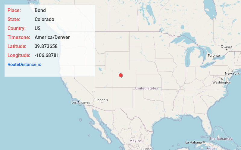
Location Information
-
Full AddressBond, CO 80423
-
Coordinates39.8736582, -106.6878099
-
LocationBond , Colorado , US
-
TimezoneAmerica/Denver
-
Current Local Time12:20:59 AM America/DenverSunday, June 8, 2025
-
Page Views0
About Bond
Bond is an unincorporated community and U.S. Post Office located along the Colorado River in Eagle County, Colorado, United States. The Bond post office has the ZIP Code 80423.


Nearby Places
Found 10 places within 50 miles

McCoy
3.5 mi
5.6 km
McCoy, CO
Get directions

Yarmony Mountain
3.7 mi
6.0 km
Yarmony Mountain, Colorado 80423
Get directions

Wolcott
11.8 mi
19.0 km
Wolcott, CO 81632
Get directions

Edwards
16.6 mi
26.7 km
Edwards, CO 81632
Get directions

Eagle
16.9 mi
27.2 km
Eagle, CO 81631
Get directions

Carterville
16.9 mi
27.2 km
Carterville, Edwards, CO 81632
Get directions

Avon
18.7 mi
30.1 km
Avon, CO
Get directions
Trapper
18.9 mi
30.4 km
Trapper, CO 80483
Get directions

Kremmling
20.4 mi
32.8 km
Kremmling, CO 80459
Get directions

Heeney
20.5 mi
33.0 km
Heeney, CO 80498
Get directions
Location Links
Local Weather
Weather Information
Coming soon!
Location Map
Static map view of Bond, Colorado
Browse Places by Distance
Places within specific distances from Bond
Short Distances
Long Distances
Click any distance to see all places within that range from Bond. Distances shown in miles (1 mile ≈ 1.61 kilometers).