Distance to Heeney, Colorado

Calculating Your Route
Just a moment while we process your request...
Location Information
-
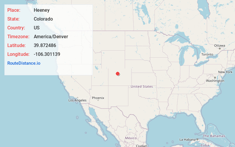
Full AddressHeeney, CO 80498
-
Coordinates39.8724857, -106.3011389
-
LocationHeeney , Colorado , US
-
TimezoneAmerica/Denver
-
Current Local Time3:32:58 PM America/DenverSunday, June 15, 2025
-
Page Views0
About Heeney
Heeney is an unincorporated community and a census-designated place located in and governed by Summit County, Colorado, United States. The CDP is a part of the Breckenridge, CO Micropolitan Statistical Area. The population of the Heeney CDP was 74 at the United States Census 2020.


Nearby Places
Found 10 places within 50 miles

Kremmling
13.7 mi
22.0 km
Kremmling, CO 80459
Get directions

Vail
16.4 mi
26.4 km
Vail, CO 81657
Get directions

Avon
20.2 mi
32.5 km
Avon, CO
Get directions

Silverthorne
20.8 mi
33.5 km
Silverthorne, CO
Get directions

Minturn
20.8 mi
33.5 km
Minturn, CO
Get directions

Dillon
21.6 mi
34.8 km
Dillon, CO
Get directions

Edwards
22.1 mi
35.6 km
Edwards, CO 81632
Get directions

Frisco
23.3 mi
37.5 km
Frisco, CO
Get directions

Granby
24.2 mi
38.9 km
Granby, CO 80446
Get directions

Red Cliff
25.1 mi
40.4 km
Red Cliff, CO 81649
Get directions
Location Links
Local Weather
Weather Information
Coming soon!
Location Map
Static map view of Heeney, Colorado
Browse Places by Distance
Places within specific distances from Heeney
Short Distances
Long Distances
Click any distance to see all places within that range from Heeney. Distances shown in miles (1 mile ≈ 1.61 kilometers).