Distance to Red Cliff, Colorado

Calculating Your Route
Just a moment while we process your request...
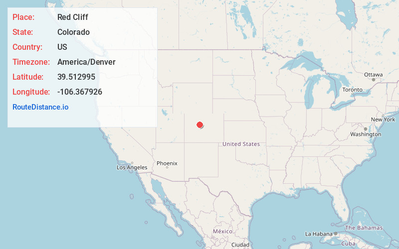
Location Information
-
Full AddressRed Cliff, CO 81649
-
Coordinates39.5129953, -106.3679262
-
LocationRed Cliff , Colorado , US
-
TimezoneAmerica/Denver
-
Current Local Time4:07:11 AM America/DenverThursday, May 29, 2025
-
Page Views0
About Red Cliff
Red Cliff is a statutory town in Eagle County, Colorado, United States. The population was 257 at the 2020 census. The town is a former mining camp situated in the canyon of the upper Eagle River just off U.S. Highway 24 north of Tennessee Pass.


Nearby Places
Found 10 places within 50 miles

Minturn
6.2 mi
10.0 km
Minturn, CO
Get directions

Vail
9.0 mi
14.5 km
Vail, CO 81657
Get directions

Avon
11.8 mi
19.0 km
Avon, CO
Get directions

Frisco
15.0 mi
24.1 km
Frisco, CO
Get directions

Edwards
15.1 mi
24.3 km
Edwards, CO 81632
Get directions

Breckenridge
17.7 mi
28.5 km
Breckenridge, CO 80424
Get directions

Silverthorne
17.7 mi
28.5 km
Silverthorne, CO
Get directions

Blue River
18.2 mi
29.3 km
Blue River, CO 80424
Get directions

Leadville
18.6 mi
29.9 km
Leadville, CO 80461
Get directions

Dillon
19.1 mi
30.7 km
Dillon, CO
Get directions
Location Links
Local Weather
Weather Information
Coming soon!
Location Map
Static map view of Red Cliff, Colorado
Browse Places by Distance
Places within specific distances from Red Cliff
Short Distances
Long Distances
Click any distance to see all places within that range from Red Cliff. Distances shown in miles (1 mile ≈ 1.61 kilometers).