Distance to Burson, California

Calculating Your Route
Just a moment while we process your request...
Location Information
-
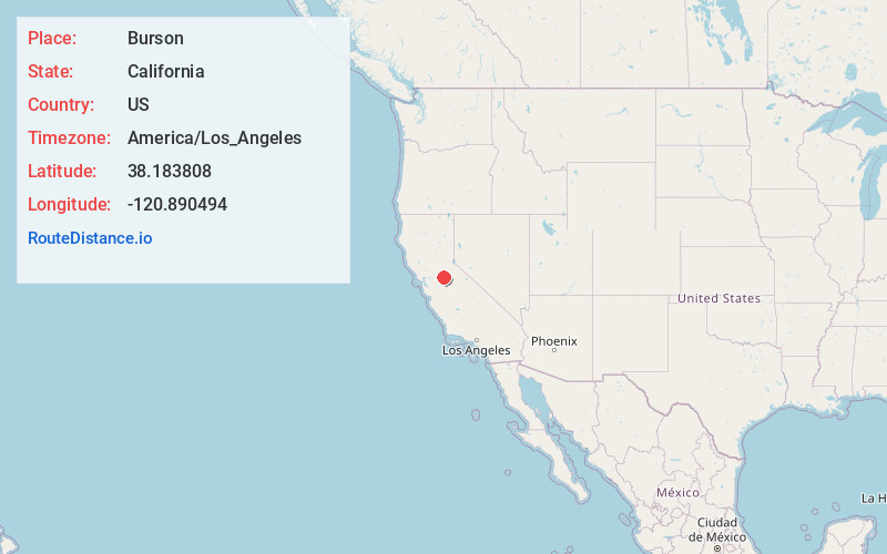
Full AddressBurson, CA 95252
-
Coordinates38.1838079, -120.8904938
-
LocationBurson , California , US
-
TimezoneAmerica/Los_Angeles
-
Current Local Time3:43:02 PM America/Los_AngelesSunday, May 25, 2025
-
Page Views0
About Burson
Burson is an unincorporated community in Calaveras County, California. It lies at an elevation of 98 feet. Although unincorporated, Burson has the ZIP code of 95225.
Nearby Places
Found 10 places within 50 miles

Valley Springs
3.4 mi
5.5 km
Valley Springs, CA 95252
Get directions

Rancho Calaveras
4.7 mi
7.6 km
Rancho Calaveras, CA 95252
Get directions

Wallace
4.8 mi
7.7 km
Wallace, CA
Get directions

Camanche North Shore
5.4 mi
8.7 km
Camanche North Shore, CA 95640
Get directions

Camanche Village
7.4 mi
11.9 km
Camanche Village, CA 95640
Get directions

Lost City
10.2 mi
16.4 km
Lost City, CA 95222
Get directions
Firebrick
10.6 mi
17.1 km
Firebrick, CA 95640
Get directions
Milton
10.7 mi
17.2 km
Milton, CA 95230
Get directions

Clements
10.7 mi
17.2 km
Clements, CA
Get directions
Sunnybrook
11.0 mi
17.7 km
Sunnybrook, CA 95640
Get directions
Location Links
Local Weather
Weather Information
Coming soon!
Location Map
Static map view of Burson, California
Browse Places by Distance
Places within specific distances from Burson
Short Distances
Long Distances
Click any distance to see all places within that range from Burson. Distances shown in miles (1 mile ≈ 1.61 kilometers).