Distance to Wallace, California

Calculating Your Route
Just a moment while we process your request...
Location Information
-
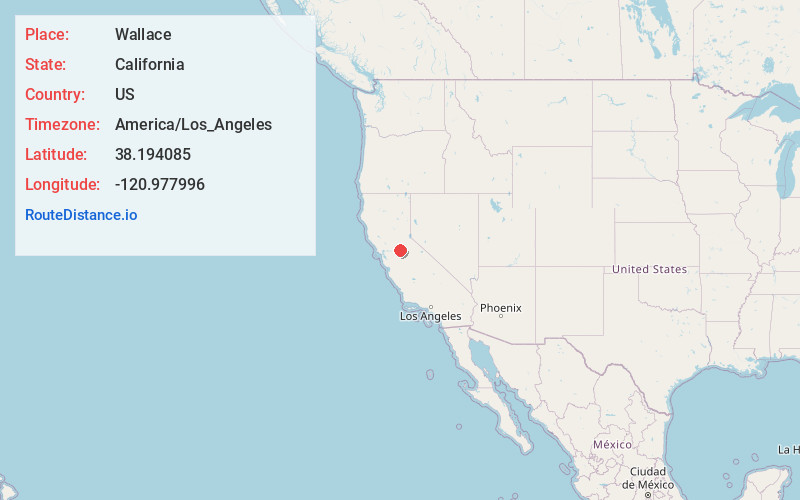
Full AddressWallace, CA
-
Coordinates38.1940853, -120.9779962
-
LocationWallace , California , US
-
TimezoneAmerica/Los_Angeles
-
Current Local Time9:55:34 PM America/Los_AngelesThursday, June 12, 2025
-
Page Views0
About Wallace
Wallace is a census-designated place at the far west edge of Calaveras County, California, United States on State Route 12. The population was 403 at the 2010 census, up from 220 at the 2000 census.


Nearby Places
Found 10 places within 50 miles

Camanche North Shore
3.9 mi
6.3 km
Camanche North Shore, CA 95640
Get directions

Camanche Village
5.2 mi
8.4 km
Camanche Village, CA 95640
Get directions

Valley Springs
8.1 mi
13.0 km
Valley Springs, CA 95252
Get directions

Rancho Calaveras
8.5 mi
13.7 km
Rancho Calaveras, CA 95252
Get directions

Lockeford
9.6 mi
15.4 km
Lockeford, CA
Get directions

Ione
11.2 mi
18.0 km
Ione, CA
Get directions

Clay
12.9 mi
20.8 km
Clay, CA 95638
Get directions
Victor
13.0 mi
20.9 km
Victor, CA 95240
Get directions

Linden
13.3 mi
21.4 km
Linden, CA 95236
Get directions

Jackson
15.4 mi
24.8 km
Jackson, CA 95642
Get directions
Location Links
Local Weather
Weather Information
Coming soon!
Location Map
Static map view of Wallace, California
Browse Places by Distance
Places within specific distances from Wallace
Short Distances
Long Distances
Click any distance to see all places within that range from Wallace. Distances shown in miles (1 mile ≈ 1.61 kilometers).