Distance to Byron, Ohio

Calculating Your Route
Just a moment while we process your request...
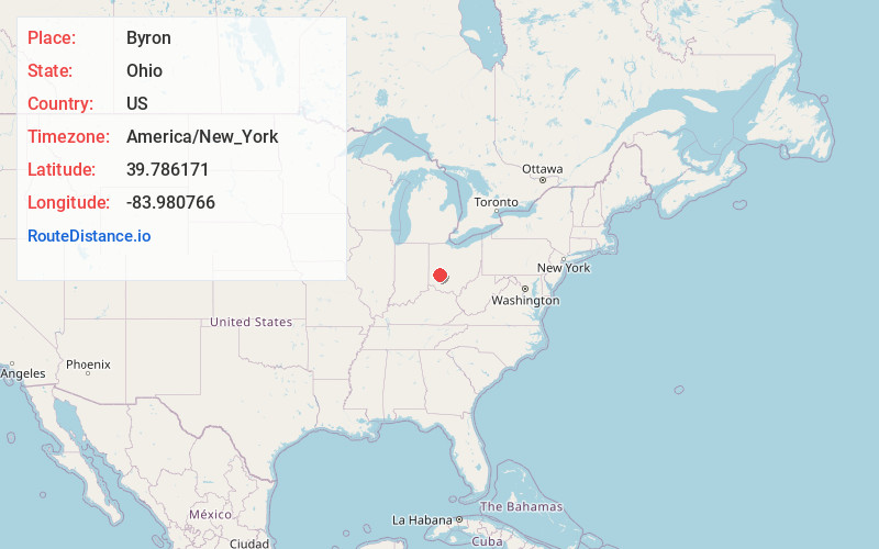
Location Information
-
Full AddressByron, OH 45385
-
Coordinates39.7861705, -83.9807661
-
LocationByron , Ohio , US
-
TimezoneAmerica/New_York
-
Current Local Time6:57:13 PM America/New_YorkTuesday, June 3, 2025
-
Page Views0
About Byron
Byron is a small unincorporated community in southeastern Bath Township, Greene County, Ohio, United States. It sits at the intersection of Linebaugh and Dayton-Yellow Springs Roads, between Fairborn and Xenia. Byron is located at 39°47′10″N 83°58′51″W, at an elevation of 915 feet.
Nearby Places
Found 10 places within 50 miles

Fairborn
3.2 mi
5.1 km
Fairborn, OH
Get directions

Goes
3.7 mi
6.0 km
Goes, Xenia Township, OH 45387
Get directions

Wright-Patterson AFB
4.3 mi
6.9 km
Wright-Patterson AFB, OH
Get directions
Oldtown
4.5 mi
7.2 km
Oldtown, Xenia Township, OH 45385
Get directions
Holiday Valley
4.9 mi
7.9 km
Holiday Valley, OH 45324
Get directions

Yellow Springs
5.2 mi
8.4 km
Yellow Springs, OH 45387
Get directions
New Germany
5.3 mi
8.5 km
New Germany, Beavercreek, OH 45431
Get directions
Trebein
5.6 mi
9.0 km
Trebein, Beavercreek Township, OH 45385
Get directions
Knollwood
5.9 mi
9.5 km
Knollwood, Beavercreek, OH 45432
Get directions
Green Meadows
6.0 mi
9.7 km
Green Meadows, OH 45323
Get directions
Location Links
Local Weather
Weather Information
Coming soon!
Location Map
Static map view of Byron, Ohio
Browse Places by Distance
Places within specific distances from Byron
Short Distances
Long Distances
Click any distance to see all places within that range from Byron. Distances shown in miles (1 mile ≈ 1.61 kilometers).