Distance to Goes, Ohio

Calculating Your Route
Just a moment while we process your request...
Location Information
-
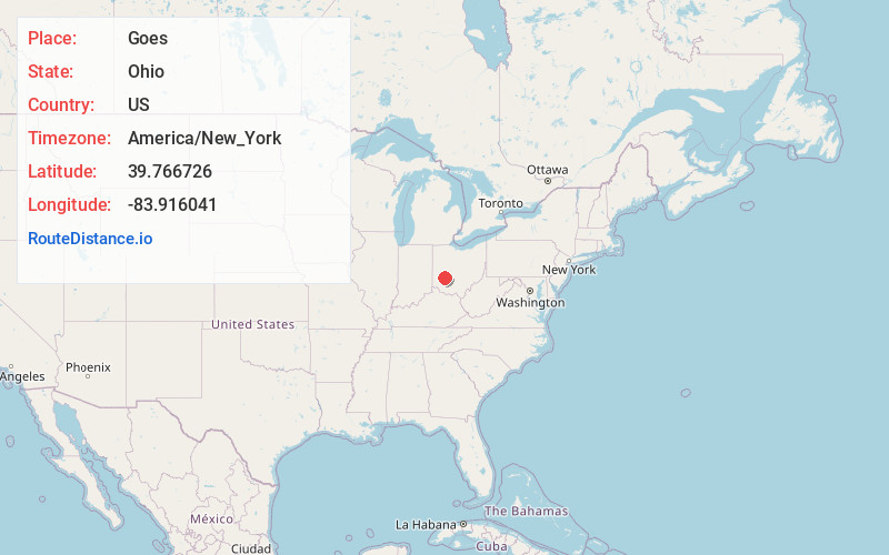
Full AddressGoes, Xenia Township, OH 45387
-
Coordinates39.7667264, -83.9160414
-
LocationXenia Township , Ohio , US
-
TimezoneAmerica/New_York
-
Current Local Time9:04:37 AM America/New_YorkMonday, June 23, 2025
-
Page Views0
About Goes
Goes Station is a small unincorporated community in northern Xenia Township, Greene County, Ohio, United States. It sits at the intersection of Snively Road and U.S. Route 68 between Xenia and Yellow Springs.
The community is part of the Dayton Metropolitan Statistical Area.
Nearby Places
Found 10 places within 50 miles

Oldtown
2.8 mi
4.5 km
Oldtown, Xenia Township, OH 45385
Get directions

Yellow Springs
3.2 mi
5.1 km
Yellow Springs, OH 45387
Get directions

Wilberforce
4.0 mi
6.4 km
Wilberforce, OH
Get directions
Clifton
5.2 mi
8.4 km
Clifton, OH
Get directions
Trebein
5.6 mi
9.0 km
Trebein, Beavercreek Township, OH 45385
Get directions

Xenia
5.7 mi
9.2 km
Xenia, OH 45385
Get directions
Hustead
5.8 mi
9.3 km
Hustead, Green Township, OH 45502
Get directions

Cedarville
5.9 mi
9.5 km
Cedarville, OH 45314
Get directions

Fairborn
6.6 mi
10.6 km
Fairborn, OH
Get directions
Holiday Valley
6.8 mi
10.9 km
Holiday Valley, OH 45324
Get directions
Location Links
Local Weather
Weather Information
Coming soon!
Location Map
Static map view of Goes, Ohio
Browse Places by Distance
Places within specific distances from Goes
Short Distances
Long Distances
Click any distance to see all places within that range from Goes. Distances shown in miles (1 mile ≈ 1.61 kilometers).