Distance to Clifton, Ohio

Calculating Your Route
Just a moment while we process your request...
Location Information
-
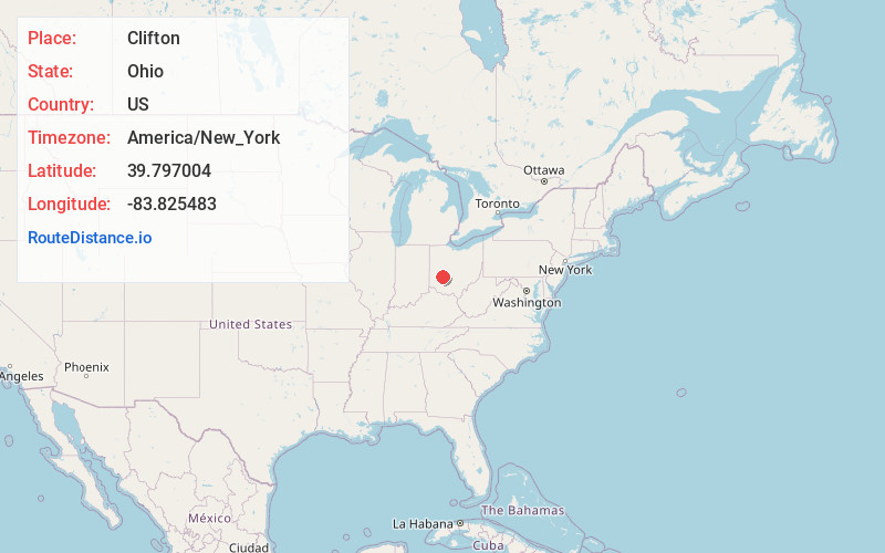
Full AddressClifton, OH
-
Coordinates39.7970043, -83.8254829
-
LocationClifton , Ohio , US
-
TimezoneAmerica/New_York
-
Current Local Time9:10:29 PM America/New_YorkTuesday, June 3, 2025
-
Page Views0
About Clifton
Clifton is a village in Clark and Greene counties in the U.S. state of Ohio and is home to the Clifton Mill, one of the largest water-powered grist mills still in existence. The population was 131 at the 2020 census.
Nearby Places
Found 10 places within 50 miles

Yellow Springs
3.3 mi
5.3 km
Yellow Springs, OH 45387
Get directions

Cedarville
3.8 mi
6.1 km
Cedarville, OH 45314
Get directions

Wilberforce
6.2 mi
10.0 km
Wilberforce, OH
Get directions

Green Meadows
8.0 mi
12.9 km
Green Meadows, OH 45323
Get directions
Enon
8.1 mi
13.0 km
Enon, OH
Get directions
Holiday Valley
8.6 mi
13.8 km
Holiday Valley, OH 45324
Get directions

Springfield
8.8 mi
14.2 km
Springfield, OH
Get directions

Xenia
9.5 mi
15.3 km
Xenia, OH 45385
Get directions

South Charleston
10.3 mi
16.6 km
South Charleston, OH 45368
Get directions

Fairborn
10.4 mi
16.7 km
Fairborn, OH
Get directions
Location Links
Local Weather
Weather Information
Coming soon!
Location Map
Static map view of Clifton, Ohio
Browse Places by Distance
Places within specific distances from Clifton
Short Distances
Long Distances
Click any distance to see all places within that range from Clifton. Distances shown in miles (1 mile ≈ 1.61 kilometers).