Distance to South Charleston, Ohio

Calculating Your Route
Just a moment while we process your request...
Location Information
-
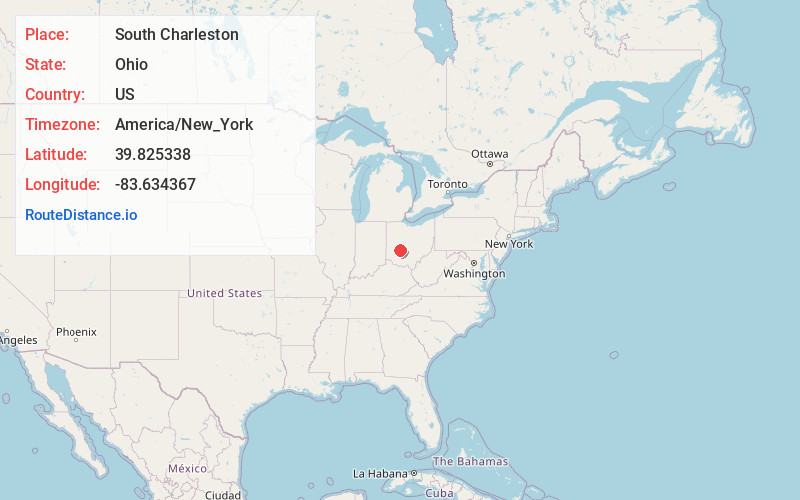
Full AddressSouth Charleston, OH 45368
-
Coordinates39.8253378, -83.6343672
-
LocationSouth Charleston , Ohio , US
-
TimezoneAmerica/New_York
-
Current Local Time1:04:30 PM America/New_YorkSaturday, June 28, 2025
-
Website
-
Page Views0
About South Charleston
South Charleston is a village in Clark County, Ohio, United States. The population was 1,706 at the 2020 census. It is part of the Springfield, Ohio Metropolitan Statistical Area.
Despite its name implying that South Charleston is related to a city named Charleston, there is no city by that name in Ohio.


Nearby Places
Found 10 places within 50 miles

London
10.7 mi
17.2 km
London, OH 43140
Get directions

Cedarville
10.8 mi
17.4 km
Cedarville, OH 45314
Get directions

Springfield
11.5 mi
18.5 km
Springfield, OH
Get directions

Choctaw Lake
12.2 mi
19.6 km
Choctaw Lake, OH 43140
Get directions

Jeffersonville
12.4 mi
20.0 km
Jeffersonville, OH
Get directions

Jamestown
12.7 mi
20.4 km
Jamestown, OH 45335
Get directions

Yellow Springs
13.5 mi
21.7 km
Yellow Springs, OH 45387
Get directions

Wilberforce
15.0 mi
24.1 km
Wilberforce, OH
Get directions
Enon
16.5 mi
26.6 km
Enon, OH
Get directions
Green Meadows
16.7 mi
26.9 km
Green Meadows, OH 45323
Get directions
Location Links
Local Weather
Weather Information
Coming soon!
Location Map
Static map view of South Charleston, Ohio
Browse Places by Distance
Places within specific distances from South Charleston
Short Distances
Long Distances
Click any distance to see all places within that range from South Charleston. Distances shown in miles (1 mile ≈ 1.61 kilometers).