Distance to London, Ohio

Calculating Your Route
Just a moment while we process your request...
Location Information
-
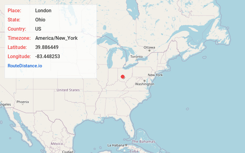
Full AddressLondon, OH 43140
-
Coordinates39.8864493, -83.4482529
-
LocationLondon , Ohio , US
-
TimezoneAmerica/New_York
-
Current Local Time10:08:00 PM America/New_YorkThursday, June 19, 2025
-
Website
-
Page Views0
About London
London is a city in and the county seat of Madison County, Ohio, United States. Located about 25 miles southwest of the Ohio capital of Columbus, London was established in 1811 to serve as the county seat. The population was 10,279 at the 2020 census. It is part of the Columbus metropolitan area.


Nearby Places
Found 10 places within 50 miles

Hilliard
18.4 mi
29.6 km
Hilliard, OH
Get directions

Grove City
18.8 mi
30.3 km
Grove City, OH
Get directions

Springfield
19.3 mi
31.1 km
Springfield, OH
Get directions

Dublin
22.1 mi
35.6 km
Dublin, OH
Get directions

Urbana
22.2 mi
35.7 km
Urbana, OH 43078
Get directions

Upper Arlington
22.8 mi
36.7 km
Upper Arlington, OH
Get directions

Washington Court House
24.1 mi
38.8 km
Washington Court House, OH 43160
Get directions

Columbus
24.2 mi
38.9 km
Columbus, OH
Get directions

Marysville
24.6 mi
39.6 km
Marysville, OH 43040
Get directions

Worthington
26.9 mi
43.3 km
Worthington, OH
Get directions
Location Links
Local Weather
Weather Information
Coming soon!
Location Map
Static map view of London, Ohio
Browse Places by Distance
Places within specific distances from London
Short Distances
Long Distances
Click any distance to see all places within that range from London. Distances shown in miles (1 mile ≈ 1.61 kilometers).