Distance to Jeffersonville, Ohio

Calculating Your Route
Just a moment while we process your request...
Location Information
-
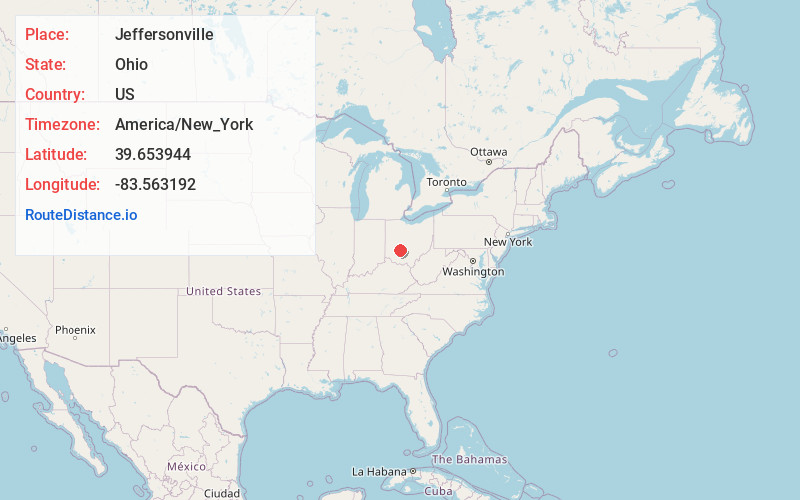
Full AddressJeffersonville, OH
-
Coordinates39.6539436, -83.5631915
-
LocationJeffersonville , Ohio , US
-
TimezoneAmerica/New_York
-
Current Local Time10:54:51 AM America/New_YorkSaturday, May 31, 2025
-
Page Views0
About Jeffersonville
Jeffersonville is a village in Fayette County, Ohio, United States. The population was 1,258 at the 2020 census.


Nearby Places
Found 10 places within 50 miles

Washington Court House
10.5 mi
16.9 km
Washington Court House, OH 43160
Get directions

Cedarville
14.5 mi
23.3 km
Cedarville, OH 45314
Get directions

London
17.2 mi
27.7 km
London, OH 43140
Get directions

Xenia
19.6 mi
31.5 km
Xenia, OH 45385
Get directions

Yellow Springs
20.2 mi
32.5 km
Yellow Springs, OH 45387
Get directions

Wilmington
20.2 mi
32.5 km
Wilmington, OH 45177
Get directions

Springfield
22.8 mi
36.7 km
Springfield, OH
Get directions

Greenfield
23.0 mi
37.0 km
Greenfield, OH 45123
Get directions

West Jefferson
25.5 mi
41.0 km
West Jefferson, OH
Get directions

Fairborn
26.8 mi
43.1 km
Fairborn, OH
Get directions
Location Links
Local Weather
Weather Information
Coming soon!
Location Map
Static map view of Jeffersonville, Ohio
Browse Places by Distance
Places within specific distances from Jeffersonville
Short Distances
Long Distances
Click any distance to see all places within that range from Jeffersonville. Distances shown in miles (1 mile ≈ 1.61 kilometers).