Distance to West Jefferson, Ohio

Calculating Your Route
Just a moment while we process your request...
Location Information
-
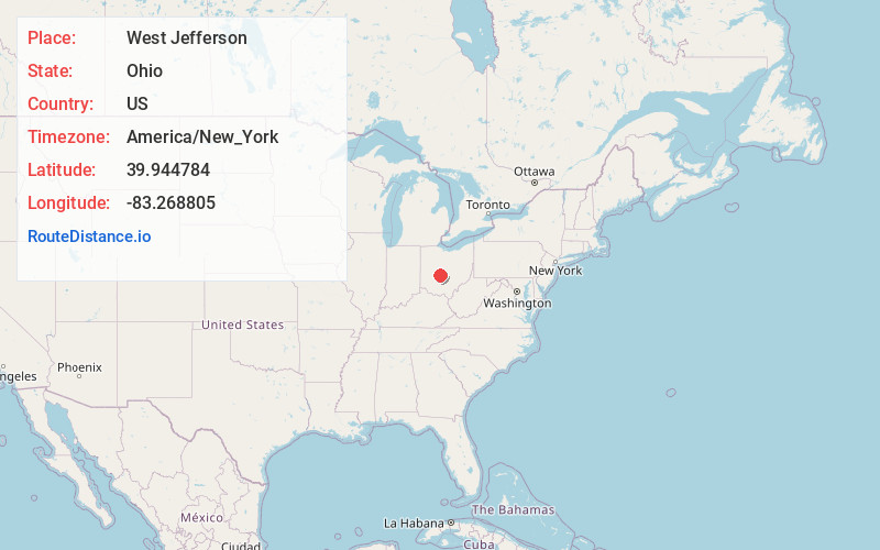
Full AddressWest Jefferson, OH
-
Coordinates39.944784, -83.2688045
-
LocationWest Jefferson , Ohio , US
-
TimezoneAmerica/New_York
-
Current Local Time5:19:34 AM America/New_YorkMonday, June 16, 2025
-
Website
-
Page Views0
About West Jefferson
West Jefferson is a village in Madison County, Ohio, United States. The population was 4,137 at the 2020 census. Located along U.S. Route 40, the village has a fairly close relationship with the surrounding township, which include various out-of-corporation-limit neighborhoods.


Nearby Places
Found 10 places within 50 miles

Lake Darby
2.3 mi
3.7 km
Lake Darby, OH 43119
Get directions

Hilliard
8.5 mi
13.7 km
Hilliard, OH
Get directions

Grove City
10.2 mi
16.4 km
Grove City, OH
Get directions

London
10.3 mi
16.6 km
London, OH 43140
Get directions

Upper Arlington
12.5 mi
20.1 km
Upper Arlington, OH
Get directions

Dublin
12.8 mi
20.6 km
Dublin, OH
Get directions

Columbus
14.1 mi
22.7 km
Columbus, OH
Get directions

Worthington
16.8 mi
27.0 km
Worthington, OH
Get directions

Bexley
17.6 mi
28.3 km
Bexley, OH 43209
Get directions

Powell
17.9 mi
28.8 km
Powell, OH 43065
Get directions
Location Links
Local Weather
Weather Information
Coming soon!
Location Map
Static map view of West Jefferson, Ohio
Browse Places by Distance
Places within specific distances from West Jefferson
Short Distances
Long Distances
Click any distance to see all places within that range from West Jefferson. Distances shown in miles (1 mile ≈ 1.61 kilometers).