Distance to Bexley, Ohio

Calculating Your Route
Just a moment while we process your request...
Location Information
-
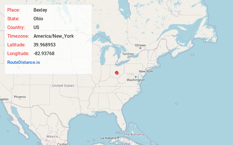
Full AddressBexley, OH 43209
-
Coordinates39.9689532, -82.9376804
-
LocationBexley , Ohio , US
-
TimezoneAmerica/New_York
-
Current Local Time11:04:23 AM America/New_YorkSaturday, June 7, 2025
-
Page Views0
About Bexley
Bexley is a city in Franklin County, Ohio, United States. The population was 13,928 at the 2020 census. The city is a suburban enclave of Columbus, situated on the banks of Alum Creek east of Columbus's Near East Side.


Nearby Places
Found 10 places within 50 miles

Whitehall
2.8 mi
4.5 km
Whitehall, OH
Get directions

Columbus
3.5 mi
5.6 km
Columbus, OH
Get directions

Gahanna
4.6 mi
7.4 km
Gahanna, OH
Get directions

Reynoldsburg
6.7 mi
10.8 km
Reynoldsburg, OH
Get directions

Upper Arlington
7.4 mi
11.9 km
Upper Arlington, OH
Get directions

Worthington
9.6 mi
15.4 km
Worthington, OH
Get directions

Grove City
10.2 mi
16.4 km
Grove City, OH
Get directions

Westerville
10.9 mi
17.5 km
Westerville, OH
Get directions

Pickerington
11.4 mi
18.3 km
Pickerington, OH
Get directions

Hilliard
12.5 mi
20.1 km
Hilliard, OH
Get directions
Location Links
Local Weather
Weather Information
Coming soon!
Location Map
Static map view of Bexley, Ohio
Browse Places by Distance
Places within specific distances from Bexley
Short Distances
Long Distances
Click any distance to see all places within that range from Bexley. Distances shown in miles (1 mile ≈ 1.61 kilometers).