Distance to Cedarville, Ohio

Calculating Your Route
Just a moment while we process your request...
Location Information
-
Full AddressCedarville, OH 45314
-
Coordinates39.7442268, -83.8085372
-
LocationCedarville , Ohio , US
-
TimezoneAmerica/New_York
-
Current Local Time1:26:11 AM America/New_YorkTuesday, June 17, 2025
-
Website
-
Page Views1
About Cedarville
Cedarville is a village in Greene County, Ohio, United States. The village is within the Dayton Metropolitan Statistical Area. The population was 4,257 at the 2020 census.


Nearby Places
Found 10 places within 50 miles

Xenia
7.6 mi
12.2 km
Xenia, OH 45385
Get directions

Springfield
12.4 mi
20.0 km
Springfield, OH
Get directions

Fairborn
12.4 mi
20.0 km
Fairborn, OH
Get directions

Beavercreek
13.8 mi
22.2 km
Beavercreek, OH
Get directions

Park Layne
15.7 mi
25.3 km
Park Layne, OH
Get directions

Bellbrook
15.8 mi
25.4 km
Bellbrook, OH
Get directions

Riverside
16.9 mi
27.2 km
Riverside, OH
Get directions

New Carlisle
17.6 mi
28.3 km
New Carlisle, OH 45344
Get directions

Huber Heights
18.1 mi
29.1 km
Huber Heights, OH
Get directions

Kettering
19.5 mi
31.4 km
Kettering, OH
Get directions
Location Links
Local Weather
Weather Information
Coming soon!
Location Map
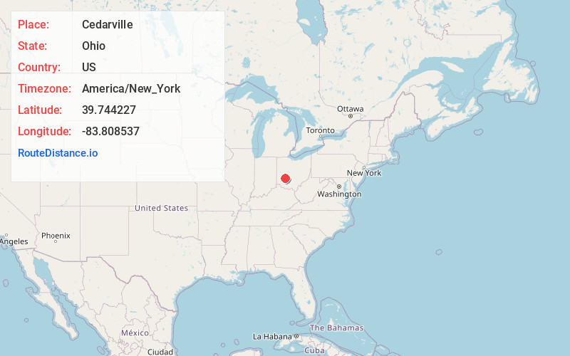
Static map view of Cedarville, Ohio
Browse Places by Distance
Places within specific distances from Cedarville
Short Distances
Long Distances
Click any distance to see all places within that range from Cedarville. Distances shown in miles (1 mile ≈ 1.61 kilometers).