Distance to Jamestown, Ohio

Calculating Your Route
Just a moment while we process your request...
Location Information
-
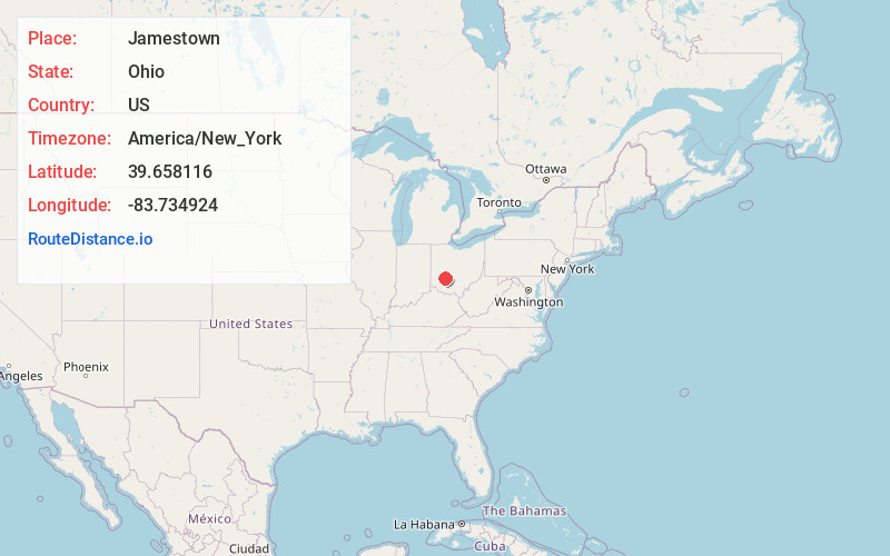
Full AddressJamestown, OH 45335
-
Coordinates39.6581163, -83.7349236
-
LocationJamestown , Ohio , US
-
TimezoneAmerica/New_York
-
Current Local Time10:09:25 AM America/New_YorkFriday, June 20, 2025
-
Page Views0
About Jamestown
Jamestown is a village in Greene County, Ohio, United States. The population was 2,052 at the 2020 census.
Jamestown is part of the Dayton Metropolitan Statistical Area.
Nearby Places
Found 10 places within 50 miles

Cedarville
7.1 mi
11.4 km
Cedarville, OH 45314
Get directions

Jeffersonville
9.1 mi
14.6 km
Jeffersonville, OH
Get directions

Xenia
10.5 mi
16.9 km
Xenia, OH 45385
Get directions

Sabina
12.8 mi
20.6 km
Sabina, OH 45169
Get directions

Yellow Springs
13.0 mi
20.9 km
Yellow Springs, OH 45387
Get directions

Wilmington
15.5 mi
24.9 km
Wilmington, OH 45177
Get directions

Beavercreek
17.8 mi
28.6 km
Beavercreek, OH
Get directions

Washington Court House
17.9 mi
28.8 km
Washington Court House, OH 43160
Get directions

Bellbrook
17.9 mi
28.8 km
Bellbrook, OH
Get directions

Enon
18.6 mi
29.9 km
Enon, OH
Get directions
Location Links
Local Weather
Weather Information
Coming soon!
Location Map
Static map view of Jamestown, Ohio
Browse Places by Distance
Places within specific distances from Jamestown
Short Distances
Long Distances
Click any distance to see all places within that range from Jamestown. Distances shown in miles (1 mile ≈ 1.61 kilometers).