Distance to Cabot, Kentucky

Calculating Your Route
Just a moment while we process your request...
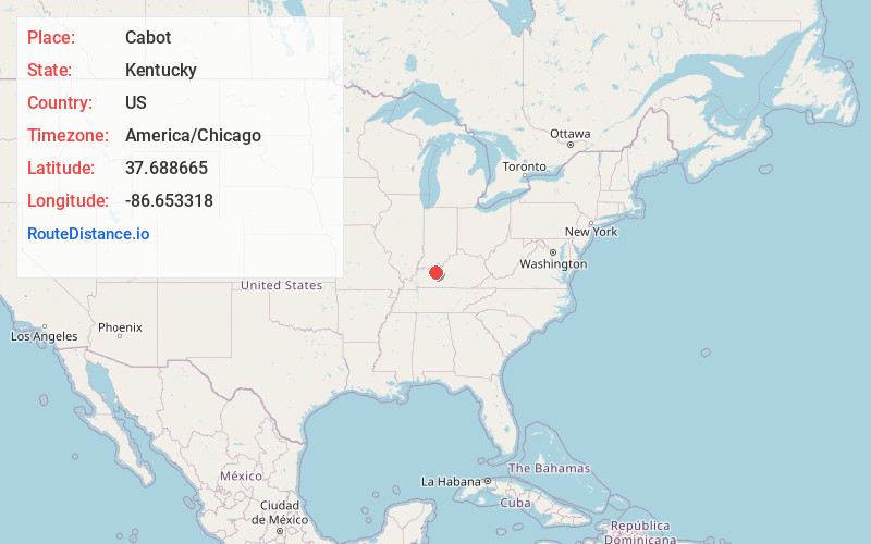
Location Information
-
Full AddressCabot, KY 42343
-
Coordinates37.6886654, -86.6533182
-
LocationKentucky , US
-
TimezoneAmerica/Chicago
-
Current Local Time4:39:01 PM America/ChicagoMonday, May 19, 2025
-
Page Views0
Nearby Places
Found 10 places within 50 miles

Easton
2.0 mi
3.2 km
Easton, KY 42343
Get directions
Vanzant
3.9 mi
6.3 km
Vanzant, KY 40119
Get directions
Victoria Crossroads
4.3 mi
6.9 km
Victoria Crossroads, KY 42368
Get directions

Fordsville
5.0 mi
8.0 km
Fordsville, KY 42343
Get directions
Rockvale
5.7 mi
9.2 km
Rockvale, KY 40119
Get directions
Mattingly
5.8 mi
9.3 km
Mattingly, KY 40111
Get directions
Roseville
5.9 mi
9.5 km
Roseville, KY 42368
Get directions
McQuady
7.5 mi
12.1 km
McQuady, KY 40119
Get directions
Herbert
8.3 mi
13.4 km
Herbert, KY 42368
Get directions
Narrows
9.4 mi
15.1 km
Narrows, KY 42347
Get directions
Location Links
Local Weather
Weather Information
Coming soon!
Location Map
Static map view of Cabot, Kentucky
Browse Places by Distance
Places within specific distances from Cabot
Short Distances
Long Distances
Click any distance to see all places within that range from Cabot. Distances shown in miles (1 mile ≈ 1.61 kilometers).