Distance to Herbert, Kentucky

Calculating Your Route
Just a moment while we process your request...
Location Information
-
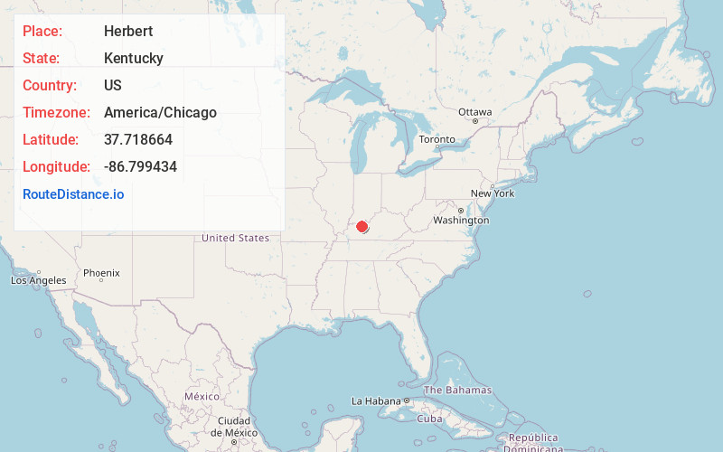
Full AddressHerbert, KY 42368
-
Coordinates37.7186636, -86.7994336
-
LocationKentucky , US
-
TimezoneAmerica/Chicago
-
Current Local Time6:14:57 PM America/ChicagoWednesday, June 18, 2025
-
Page Views0
Nearby Places
Found 10 places within 50 miles

Roseville
2.4 mi
3.9 km
Roseville, KY 42368
Get directions

Whitesville
4.6 mi
7.4 km
Whitesville, KY 42378
Get directions
Goering
6.0 mi
9.7 km
Goering, KY 42348
Get directions
Knottsville
6.8 mi
10.9 km
Knottsville, KY 42366
Get directions

Fordsville
7.3 mi
11.7 km
Fordsville, KY 42343
Get directions
Grandview
7.3 mi
11.7 km
Grandview, KY 42366
Get directions

Philpot
10.4 mi
16.7 km
Philpot, KY
Get directions

Cloverport
12.0 mi
19.3 km
Cloverport, KY 40111
Get directions
Sunnydale
12.7 mi
20.4 km
Sunnydale, KY 42347
Get directions

Hawesville
12.8 mi
20.6 km
Hawesville, KY 42348
Get directions
Location Links
Local Weather
Weather Information
Coming soon!
Location Map
Static map view of Herbert, Kentucky
Browse Places by Distance
Places within specific distances from Herbert
Short Distances
Long Distances
Click any distance to see all places within that range from Herbert. Distances shown in miles (1 mile ≈ 1.61 kilometers).