Distance to Knottsville, Kentucky

Calculating Your Route
Just a moment while we process your request...
Location Information
-
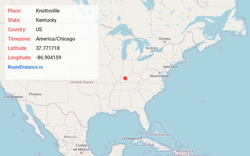
Full AddressKnottsville, KY 42366
-
Coordinates37.7717182, -86.9041585
-
LocationKnottsville , Kentucky , US
-
TimezoneAmerica/Chicago
-
Current Local Time12:53:21 PM America/ChicagoTuesday, June 24, 2025
-
Page Views0
About Knottsville
Knottsville is a small unincorporated community and census-designated place in eastern Daviess County, Kentucky. The population was 183 as of the 2020 census. The first house was built by Leonard Knott in the fall of 1827, for which the town was named. It was laid out in 1836 by William R. Griffith and James Millay.
Nearby Places
Found 10 places within 50 miles

Philpot
5.3 mi
8.5 km
Philpot, KY
Get directions

Whitesville
6.4 mi
10.3 km
Whitesville, KY 42378
Get directions

Yelvington
6.6 mi
10.6 km
Yelvington, KY 42355
Get directions

Maceo
8.1 mi
13.0 km
Maceo, KY 42355
Get directions
Masonville
9.8 mi
15.8 km
Masonville, KY 42376
Get directions

Rockport
11.1 mi
17.9 km
Rockport, IN 47635
Get directions

Owensboro
11.4 mi
18.3 km
Owensboro, KY
Get directions

Lewisport
11.4 mi
18.3 km
Lewisport, KY 42351
Get directions

Grandview
12.0 mi
19.3 km
Grandview, IN 47615
Get directions

Hawesville
12.0 mi
19.3 km
Hawesville, KY 42348
Get directions
Location Links
Local Weather
Weather Information
Coming soon!
Location Map
Static map view of Knottsville, Kentucky
Browse Places by Distance
Places within specific distances from Knottsville
Short Distances
Long Distances
Click any distance to see all places within that range from Knottsville. Distances shown in miles (1 mile ≈ 1.61 kilometers).