Distance to Yelvington, Kentucky

Calculating Your Route
Just a moment while we process your request...
Location Information
-
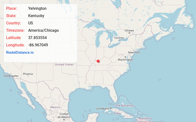
Full AddressYelvington, KY 42355
-
Coordinates37.853554, -86.967049
-
LocationYelvington , Kentucky , US
-
TimezoneAmerica/Chicago
-
Current Local Time9:42:05 PM America/ChicagoFriday, June 27, 2025
-
Page Views0
About Yelvington
Yelvington is a small unincorporated community in the U.S. state of Kentucky, located approximately 12 miles east of Owensboro along U.S. Route 60 east and near the Daviess-Hancock county line.
Nearby Places
Found 10 places within 50 miles

Maceo
1.7 mi
2.7 km
Maceo, KY 42355
Get directions

Rockport
4.9 mi
7.9 km
Rockport, IN 47635
Get directions

Grandview
5.6 mi
9.0 km
Grandview, IN 47615
Get directions

Lewisport
6.8 mi
10.9 km
Lewisport, KY 42351
Get directions

Philpot
8.4 mi
13.5 km
Philpot, KY
Get directions

Reo
8.4 mi
13.5 km
Reo, IN 47635
Get directions

Owensboro
9.9 mi
15.9 km
Owensboro, KY
Get directions

Chrisney
11.8 mi
19.0 km
Chrisney, IN 47611
Get directions

Hawesville
12.0 mi
19.3 km
Hawesville, KY 42348
Get directions

Cannelton
12.8 mi
20.6 km
Cannelton, IN 47520
Get directions
Location Links
Local Weather
Weather Information
Coming soon!
Location Map
Static map view of Yelvington, Kentucky
Browse Places by Distance
Places within specific distances from Yelvington
Short Distances
Long Distances
Click any distance to see all places within that range from Yelvington. Distances shown in miles (1 mile ≈ 1.61 kilometers).