Distance to Cannelton, Indiana

Calculating Your Route
Just a moment while we process your request...
Location Information
-
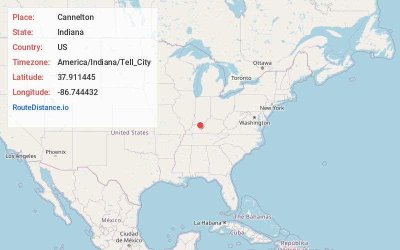
Full AddressCannelton, IN 47520
-
Coordinates37.9114446, -86.7444321
-
LocationCannelton , Indiana , US
-
TimezoneAmerica/Indiana/Tell_City
-
Current Local Time10:39:20 AM America/Indiana/Tell_CityThursday, June 19, 2025
-
Page Views0
About Cannelton
Cannelton is a city in Troy Township, Perry County, in the U.S. state of Indiana, along the Ohio River. The population was 1,524 at the 2020 census. Cannelton was the smallest incorporated city in the state until 2010.


Nearby Places
Found 10 places within 50 miles

Tell City
3.0 mi
4.8 km
Tell City, IN
Get directions

Lewisport
8.8 mi
14.2 km
Lewisport, KY 42351
Get directions

Rockport
16.7 mi
26.9 km
Rockport, IN 47635
Get directions

Santa Claus
17.1 mi
27.5 km
Santa Claus, IN
Get directions

Hardinsburg
17.9 mi
28.8 km
Hardinsburg, KY
Get directions

Owensboro
22.4 mi
36.0 km
Owensboro, KY
Get directions

Ferdinand
22.5 mi
36.2 km
Ferdinand, IN 47532
Get directions
Masonville
22.8 mi
36.7 km
Masonville, KY 42376
Get directions

Huntingburg
29.1 mi
46.8 km
Huntingburg, IN 47542
Get directions

Boonville
30.4 mi
48.9 km
Boonville, IN 47601
Get directions
Location Links
Local Weather
Weather Information
Coming soon!
Location Map
Static map view of Cannelton, Indiana
Browse Places by Distance
Places within specific distances from Cannelton
Short Distances
Long Distances
Click any distance to see all places within that range from Cannelton. Distances shown in miles (1 mile ≈ 1.61 kilometers).