Distance to Cloverport, Kentucky

Calculating Your Route
Just a moment while we process your request...
Location Information
-
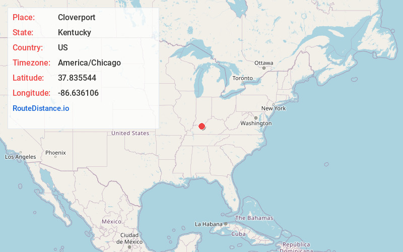
Full AddressCloverport, KY 40111
-
Coordinates37.8355441, -86.6361064
-
LocationCloverport , Kentucky , US
-
TimezoneAmerica/Chicago
-
Current Local Time3:57:12 PM America/ChicagoFriday, June 13, 2025
-
Page Views0
About Cloverport
Cloverport is a home rule-class city in Breckinridge County, Kentucky, United States, on the banks of the Ohio River. The population was 1,152 at the 2010 census.


Nearby Places
Found 10 places within 50 miles

Cannelton
7.9 mi
12.7 km
Cannelton, IN 47520
Get directions

Hardinsburg
10.3 mi
16.6 km
Hardinsburg, KY
Get directions

Tell City
10.8 mi
17.4 km
Tell City, IN
Get directions

Lewisport
16.1 mi
25.9 km
Lewisport, KY 42351
Get directions

Irvington
19.4 mi
31.2 km
Irvington, KY 40146
Get directions

Rockport
22.8 mi
36.7 km
Rockport, IN 47635
Get directions

Masonville
24.4 mi
39.3 km
Masonville, KY 42376
Get directions

Santa Claus
24.8 mi
39.9 km
Santa Claus, IN
Get directions

Owensboro
26.5 mi
42.6 km
Owensboro, KY
Get directions

Brandenburg
27.8 mi
44.7 km
Brandenburg, KY 40108
Get directions
Location Links
Local Weather
Weather Information
Coming soon!
Location Map
Static map view of Cloverport, Kentucky
Browse Places by Distance
Places within specific distances from Cloverport
Short Distances
Long Distances
Click any distance to see all places within that range from Cloverport. Distances shown in miles (1 mile ≈ 1.61 kilometers).