Distance to Cades Cove, Tennessee

Calculating Your Route
Just a moment while we process your request...
Location Information
-
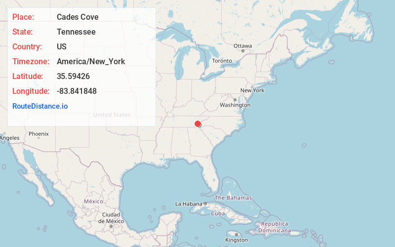
Full AddressCades Cove, Tennessee 37882
-
Coordinates35.5942598, -83.8418481
-
LocationTennessee , US
-
TimezoneAmerica/New_York
-
Current Local Time9:04:44 PM America/New_YorkSunday, June 29, 2025
-
Page Views0
About Cades Cove
Valley in Great Smokey Mountains National Park with a loop route, wildlife & preserved homesteads.


Nearby Places
Found 10 places within 50 miles

Lawson Crossroad
4.8 mi
7.7 km
Lawson Crossroad, TN 37882
Get directions
Happy Valley
6.6 mi
10.6 km
Happy Valley, TN 37878
Get directions
Kinzel Springs
6.9 mi
11.1 km
Kinzel Springs, TN 37882
Get directions

Townsend
7.4 mi
11.9 km
Townsend, TN 37882
Get directions
West Millers Cove
8.1 mi
13.0 km
West Millers Cove, TN 37886
Get directions
Miller Cove
8.1 mi
13.0 km
Miller Cove, TN 37886
Get directions
Sixmile
8.1 mi
13.0 km
Sixmile, TN 37803
Get directions
Law Chapel
9.0 mi
14.5 km
Law Chapel, TN 37803
Get directions
Blockhouse
9.2 mi
14.8 km
Blockhouse, TN 37803
Get directions

Walland
9.4 mi
15.1 km
Walland, TN 37886
Get directions
Location Links
Local Weather
Weather Information
Coming soon!
Location Map
Static map view of Cades Cove, Tennessee
Browse Places by Distance
Places within specific distances from Cades Cove
Short Distances
Long Distances
Click any distance to see all places within that range from Cades Cove. Distances shown in miles (1 mile ≈ 1.61 kilometers).