Distance to Walland, Tennessee

Calculating Your Route
Just a moment while we process your request...
Location Information
-
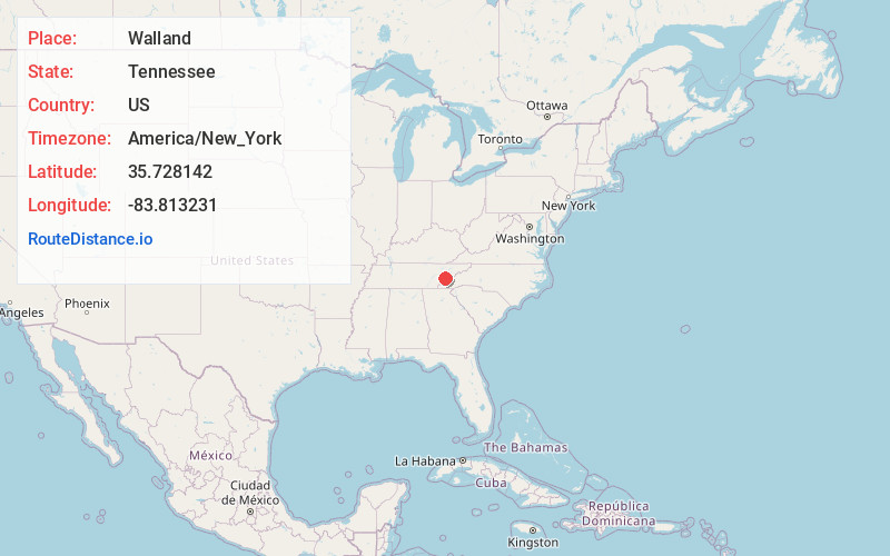
Full AddressWalland, TN 37886
-
Coordinates35.7281419, -83.8132305
-
LocationWalland , Tennessee , US
-
TimezoneAmerica/New_York
-
Current Local Time2:58:33 PM America/New_YorkWednesday, June 18, 2025
-
Page Views0
About Walland
Walland is an unincorporated community and census-designated place in Blount County, Tennessee. Its population was 281 as of the 2020 census. Walland is the site of a post office and is the place name associated with zip code 37886, which covers an area beyond the Walland community.


Nearby Places
Found 10 places within 50 miles

Townsend
4.9 mi
7.9 km
Townsend, TN 37882
Get directions

Wildwood
6.2 mi
10.0 km
Wildwood, TN 37804
Get directions
Eagleton Village
8.1 mi
13.0 km
Eagleton Village, TN 37804
Get directions

Maryville
9.0 mi
14.5 km
Maryville, TN
Get directions

Alcoa
10.0 mi
16.1 km
Alcoa, TN
Get directions

Seymour
10.2 mi
16.4 km
Seymour, TN 37865
Get directions

Rockford
10.3 mi
16.6 km
Rockford, TN
Get directions

Pigeon Forge
14.6 mi
23.5 km
Pigeon Forge, TN
Get directions

Louisville
14.7 mi
23.7 km
Louisville, TN
Get directions

Gatlinburg
17.0 mi
27.4 km
Gatlinburg, TN 37738
Get directions
Location Links
Local Weather
Weather Information
Coming soon!
Location Map
Static map view of Walland, Tennessee
Browse Places by Distance
Places within specific distances from Walland
Short Distances
Long Distances
Click any distance to see all places within that range from Walland. Distances shown in miles (1 mile ≈ 1.61 kilometers).